Sign Up for the Utah Snow and Avalanche Workshop (USAW) on December 7th!

Observation: Moab

Observation Date
12/9/2022
Observer Name
Tim Matthews, Chris Ely
Region
Moab
Location Name or Route
Laurel Highway
Weather
Sky
Overcast
Wind Direction
South
Wind Speed
Light
Weather Comments
Overcast skies (OVC) leaving the Geyser TH @ 0900 becoming Broken (BKN) by 1100 and shortly becoming FEW by the time we transitioned and headed down around 1130. No new precipitation to speak of and the winds remained light in the terrain we moved in today. There were only a few times today we noticed snow rolling across the surface from the light winds. The SW winds overnight had completely filled in portions of the previous days skin track in more exposed locations below treeline (BTL). Temps seemed to be in the high teens.
Snow Characteristics
Snow Surface Conditions
Powder
Wind Crust
Snow Characteristics Comments
The 14" of new snow that has fallen within the past 72 hours is still nice powder on shaded and sheltered slopes, and has a bit of a wind buff in terrain that is more exposed.
Red Flags
Red Flags
Cracking
Collapsing
Poor Snowpack Structure
Red Flags Comments
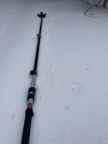
We didn't notice any new avalanche activity today and when we had eyes on upper Gold Basin into Red Snow Cirque we could barely make out the crown from the avalanche Eric reported from 12/7. The light was still quite low when we were looking. We did experience some cracking and collapsing. I'd call it more isolated than widespread, and we were hunting for it. The biggest collapse we experienced was at 11,040 feet on an almost due north aspect. The collapse was pretty loud and did shoot some cracks out above were I was standing. See photo with ski pole. The bottom line is the snowpack structure is poor and I've been taught to never trust a facet.
Avalanche Problem #1
Problem
Persistent Weak Layer
Trend
Same
Problem #1 Comments
The poor snowpack structure is there and as evidenced by the Red Snow Cirque avalanche from 12/7, and the continued cracking and collapsing. My biggest concern is terrain that faces W-N-E above treeline where the wind has stiffened up the most recent storm snow and created a more firm and connected slab above the November facets. To me these slopes are off limits if they are above 30 degrees in steepness, and lets face it that's almost all of them. I'll treat the south half of the compass as guilty until proven innocent.
Avalanche Problem #2
Problem
Wind Drifted Snow
Trend
Same
Problem #2 Comments
Still not going to ski anything steep on the north half of the compass. The southerly winds are loading NW-N-E aspects and that load is falling on our buried PWL. Bigger avalanches will be found were the wind has stiffened up the snow and created a harder slab. And lets not let our guards down with cross loaded terrain features that might not be as obvious since they aren't in your face right at the ridgelines. This trend will remain the same as long as the winds continue to blow and there's snow available for transport.
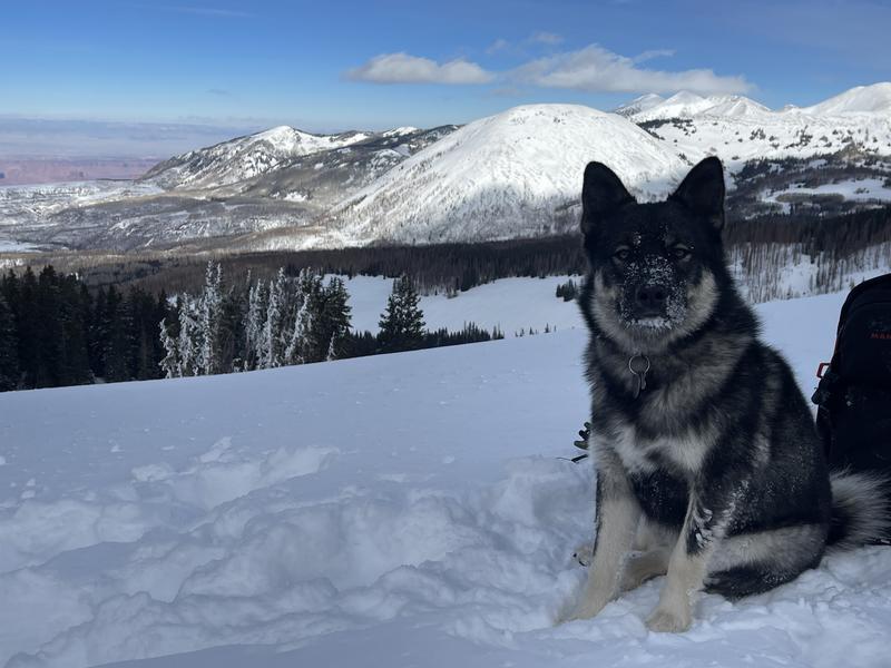
Obi turns 1 today.
Today's Observed Danger Rating
Considerable
Tomorrows Estimated Danger Rating
Considerable
Coordinates