


Observation Date
12/8/2022
Observer Name
Michael Janulaitis
Region
Uintas » Hoyt Environs
Location Name or Route
Hoyt Area
Comments
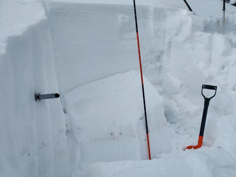
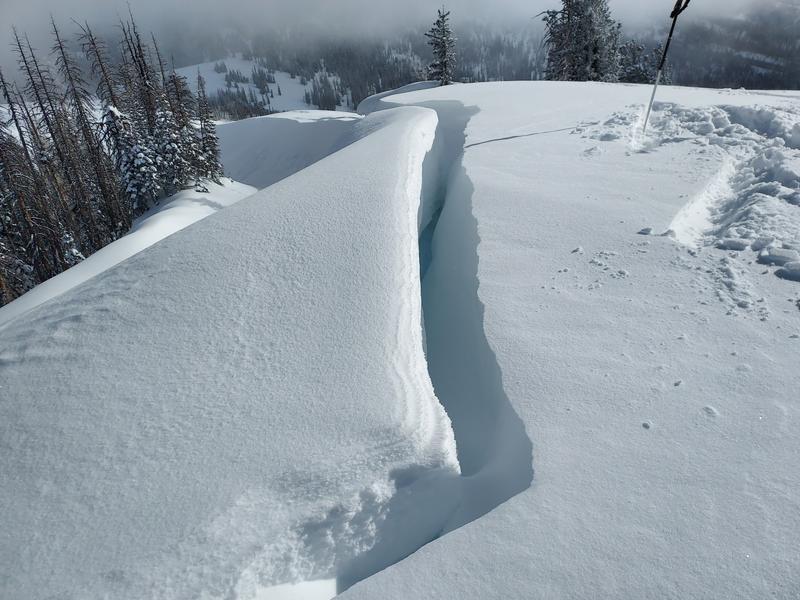
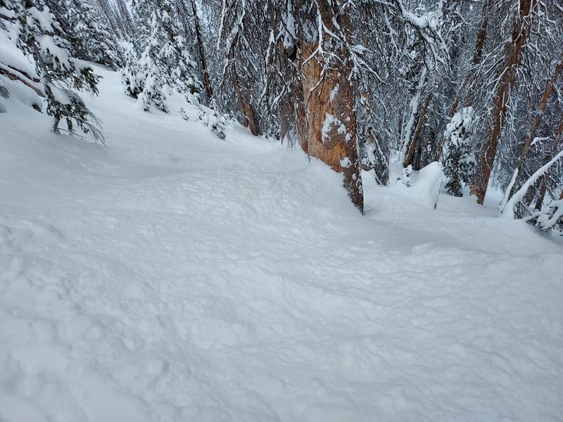
I was up in the Hoyt Area today and found about 8 inches of new dry powder. Up high on a north slope, my pit revealed the snowpack is slowly adjusting to the weight of the new snow but still very fragile. My ECT failed ECTP 16 SP Q1 on small-grained facets that formed during our high and dry period last month with the block falling into the pit on a 32 degree slope. In steep trees the snow was sluffing but manageable. Between the recent high density snow and south wind, the cornices have gained quite a bit of weight and are creeping downhill and breaking off in places.
Today's Observed Danger Rating
Considerable
Tomorrows Estimated Danger Rating
Considerable