Sign Up for the Utah Snow and Avalanche Workshop (USAW) on December 7th!

Observation: Days Fork

Observation Date
4/23/2022
Observer Name
S. Donovan
Region
Salt Lake » Big Cottonwood Canyon » Days Fork
Location Name or Route
Days Fork
Weather
Weather Comments
Snow and wind generally throughout the day. Some short periods of broken clouds between about 11 am and 130pm, where brief moments of greenhousing threatened to ruin all the fun in an instant.
Red Flags
Red Flags
Heavy Snowfall
Wind Loading
Collapsing
Rapid Warming
Avalanche Problem #1
Problem
New Snow
Trend
Increasing Danger
Problem #1 Comments
The new snow was well behaved throughout most of the day, with predictable sloughing on steep rollovers. As the snow kept accumulating, by about 1 pm, sloughs were starting to run further and faster and becoming much firmer to ski through. Not something you'd want to get pulled down or buried by in the wrong place.
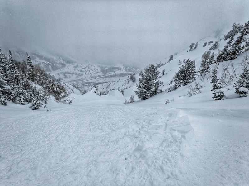
On the climb out of Days Fork, we experienced brief moments of greenhousing that were short-lived enough that snow quality seemed to remain unaffected. However, we were caught off guard by a loud and heart-stopping collapse in a steep terrain trap portion of the lower exit gully and felt silly for not having kept a safe amount of space between ourselves. We attributed the collapse to the increased cohesion in the new snow that must have occurred during the greenhousing. The slope where the collapse occurred was about ~34degrees and not steep enough for any snow to get moving.
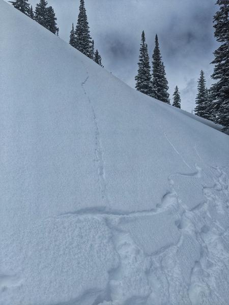
Finally, on our exit run down two trees, we were well aware of the danger from long-running sloughs, and while performing the necessary slope cuts towards the bottom half of the run, the slough triggered a new snow slab about 40' wide and 20" deep. Once again, it wasn't quite steep enough to get moving very far and came to a stop after running about 10'.
Comments
Generally, another fantastic April storm day.
I would be wary of steep terrain during the initial warm-up of the new snow tomorrow before it has a chance to settle out a little bit better. Today, there were plenty of hints that things could become very scary quickly if the new snow heats up rapidly.
First photo shows collapse upper days draw gulley.
Second photo is of the slab triggered by slough on two trees
Today's Observed Danger Rating
Moderate
Tomorrows Estimated Danger Rating
Moderate
Coordinates