Sign Up for the Utah Snow and Avalanche Workshop (USAW) on December 7th!

Observation: Ruth Lake

Observation Date
4/20/2022
Observer Name
Ted Scroggin
Region
Uintas » Ruth Lake
Location Name or Route
Ruth Lake/ Mount Marsell
Weather
Sky
Clear
Wind Direction
Southwest
Wind Speed
Moderate
Weather Comments
Mostly clear skies with a few high lens looking type clouds over the high peaks, some moderate southwest winds and temperatures were pleasant.
Snow Characteristics
New Snow Depth
3"
New Snow Density
Medium
Snow Surface Conditions
Powder
Melt-Freeze Crust
Damp
Snow Characteristics Comments
Around three new inches overnight of medium density snow that fell on a nice supportable snow surface. Travel was easy and riders are exploring some bigger terrain and finding great spring conditions.
Red Flags
Red Flags
Wind Loading
Rapid Warming
Red Flags Comments
The moderate winds speeds today were finding some dry loose snow to blow around, but I did not notice much in the way of fresh drifts where I traveled. Possibly a few shallow wind drifts in the higher terrain, but generally not a lot going on in the red flag department today. Tomorrow might be a day of more wet snow problems with warmer temps and the new snow heating up quickly.
Comments
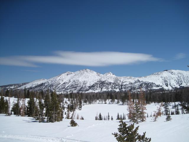
Some pretty cool looking clouds today hanging over Kletting Peak.
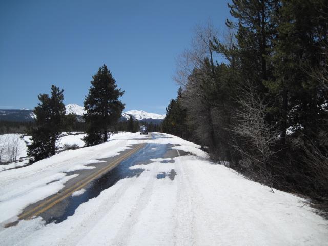
The highway has been slowly melting out and some folks are parking a mile or so below the Whitney turn off.
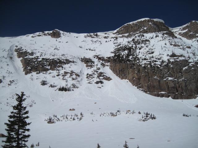
This wet loose snow activity on east facing slopes likely took place yesterday with warmer temperatures and could see more of this tomorrow with a quick warm up before the next storm. While I was out today it did not feel like the new snow was heating up too much. I did have some small roller balls on slopes that were getting direct sun, but generally not many wet snow issues around 10,000'.
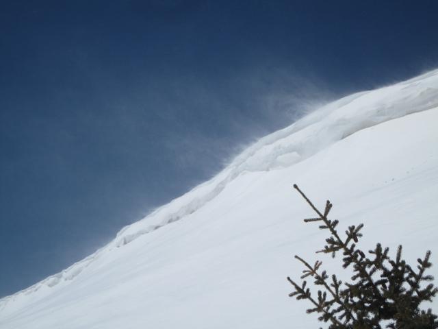
The winds were gusty on the ridge tops and finding some dry loose snow to blow around, but I did not find much in the way of wind drifts.
Today's Observed Danger Rating
None
Tomorrows Estimated Danger Rating
None
Coordinates