Observation Date
4/7/2022
Observer Name
Staples & Champion
Region
Uintas » Notch Mountain
Location Name or Route
Notch Mtn
Comments
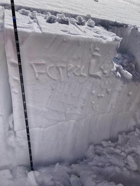
We went to a spot just north of Reids Peak where I was 2 weeks ago to look at the PWL of buried facets. This location is on where the weak layer has been preserved the best (N facing, 10,200 in open trees). It is buried about a foot and a half deep (50 cm). Overall it has changed a lot from very warm weather (~March 27) and subsequnt refreezes. This layer is still dry and has some faceting but it is rounding and has increased in hardness (4F+).
2 weeks ago we got a collapse in this area and extended column tests broke with scores as low as 0. We also triggered some small road cut banks. Today it took repeated hard taps from the shoulder (ECTP26) for the column to break.
This layer still exists and can still propagate a crack (PST 40/100 end). It is covered by several ice crusts and hard snow. At higher elevations this weak layer is mostly non-existent. At lower elevations it has been subjected to such warm temps. There is a narrow area of elevation and aspect where it is preserved. For now, it needs a heavy load of new snow to provide enough stress to overcome it's increased strength to see avalanches on it.
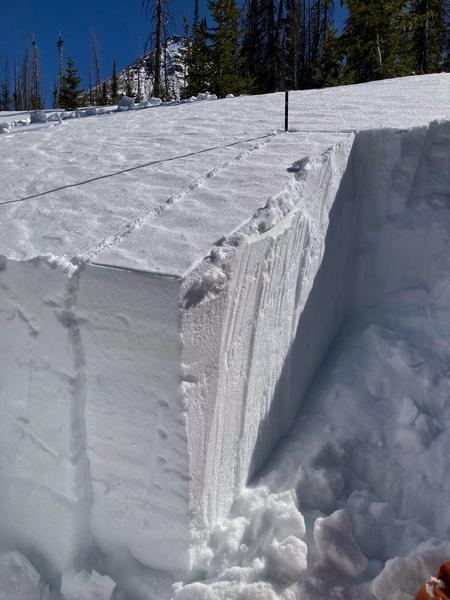
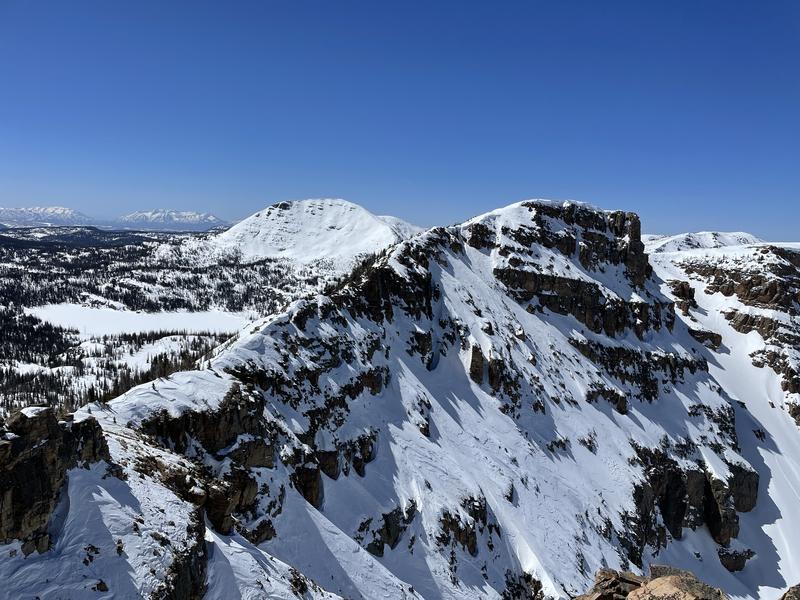
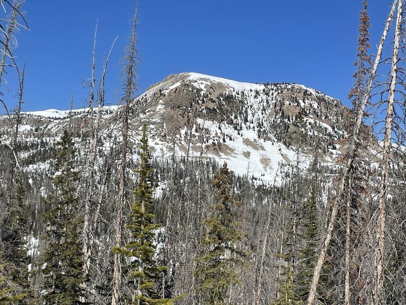
Third photo below shows steep, rocky south facing terrain on Scout Peak (Mt Marsell looks the same) that has nearly melted out. Other south faces that don't get stripped by winds as much still have snow.
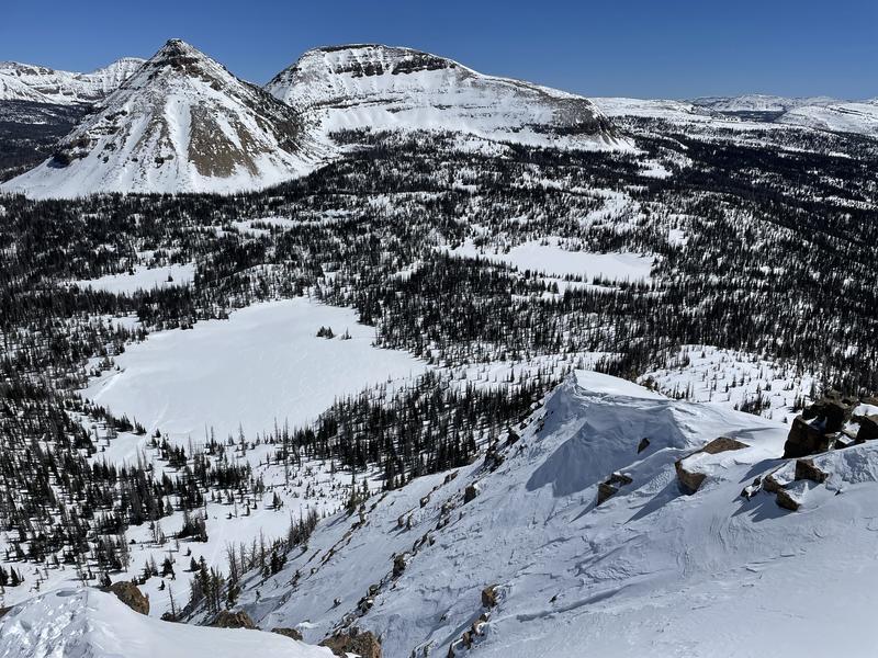
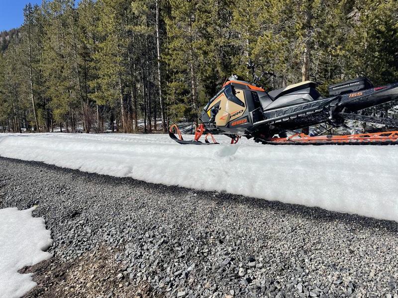
The Mirror Lake Highway is starting to melt out. From the Soapstone parking area to the turn to Spring Canyon, there are occasional intermittent patches of bare pavement.
Today's Observed Danger Rating
Low
Tomorrows Estimated Danger Rating
Low
Coordinates


