UDOT PLANNED AVALANCHE CLOSURES!!
icon-add
Observation
Menu
×
Menu
Forecasts
Logan
Ogden
Salt Lake
Provo
Uintas
Skyline
Moab
Abajos
Weather
Archives
How to read the forecast
Observations & Avalanches
Submit Observation
Observations Explorer
All Observations
Avalanches
Fatalities
Weather
Place Names Map
Archives
Education
Avalanche Class List
UAC Class List
Online Classes
Resources and Tutorials
Avalanche Awareness
Develop Skills
Events
Store
About
Contact
Who we are
Core Values
Staff
Board of Directors
Past Forecasters
Sponsors
Annual Reports
Sign In
Blog
Donate / Join
Search
Forecasts
Logan
Ogden
Salt Lake
Provo
Uintas
Skyline
Moab
Abajos
Weather
Archives
How to read the forecast
Observations & Avalanches
Submit Observation
Observations Explorer
All Observations
Avalanches
Fatalities
Weather
Place Names Map
Archives
Education
Avalanche Class List
UAC Class List
Online Classes
Resources and Tutorials
Avalanche Awareness
Develop Skills
Events
Store
About
Contact
Who we are
Core Values
Staff
Board of Directors
Past Forecasters
Sponsors
Annual Reports
Sign In
Blog
Menu
Search
icon-add
Observation
Donate / Join
Submit Observation
Observations Explorer
All Observations
Avalanches
Fatalities
Weather
Place Names Map
Archives
Submit Observation
Observations Explorer
All Observations
Avalanches
Fatalities
Weather
Place Names Map
Archives
Observation: Twin Lakes Pass
Observation Date
3/14/2022
Observer Name
John Lemnotis
Region
Salt Lake » Big Cottonwood Canyon » Twin Lakes Pass
Location Name or Route
figure 8 hill
Weather
Sky
Clear
Wind Speed
Calm
Snow Characteristics
New Snow Depth
12"
New Snow Density
Medium
Snow Surface Conditions
Powder
Red Flags
Red Flags
Heavy Snowfall
Cracking
Rapid Warming
Poor Snowpack Structure
Red Flags Comments
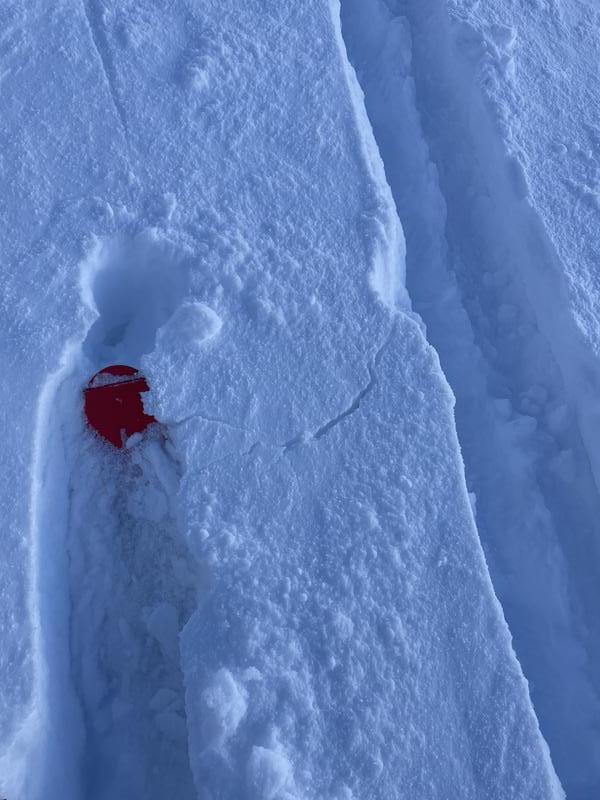
Some cracking in the storm snow was observed when we would walk above an unsupported skin track or make a switchback. Hand pits took a moderate force to get storm snow to release from the n/o interface. In the area that we traveled it seemed like the storm snow bonded pretty well and the concern was in slight hardness changes within the top 30-45cm of the snowpack.
Avalanche Problem #1
Problem
Persistent Weak Layer
Problem #1 Comments
Not laying it to rest yet. There are still specific areas where we can find loose FC with a slab on top that produce avalanches. These avalanches have been occurring mostly at mid elevations on the polar aspects. Our pit today didn't raise any red flags in terms of strength but structure is always more important and that is a single data point in a big mountain range. Video link attached below.
Avalanche Problem #2
Problem
New Snow
Trend
Decreasing Danger
Problem #2 Comments
See above. Storm slabs usually heal relatively quickly but can't be trusted when they are on top of a persistant weak layer, which, is what we are dealing with right now.
Video
Today's Observed Danger Rating
Moderate
Tomorrows Estimated Danger Rating
None
Coordinates