
Observation Date
2/24/2022
Observer Name
Bill Nalli
Region
Salt Lake » Park City Ridgeline » Monitors » South Monitor Bowl
Location Name or Route
South Monitor
Comments
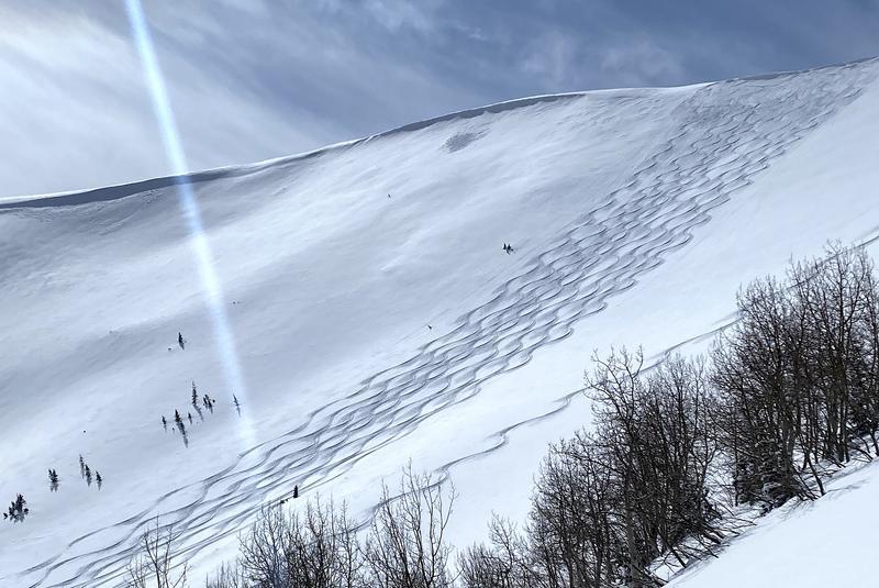
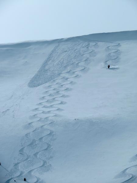
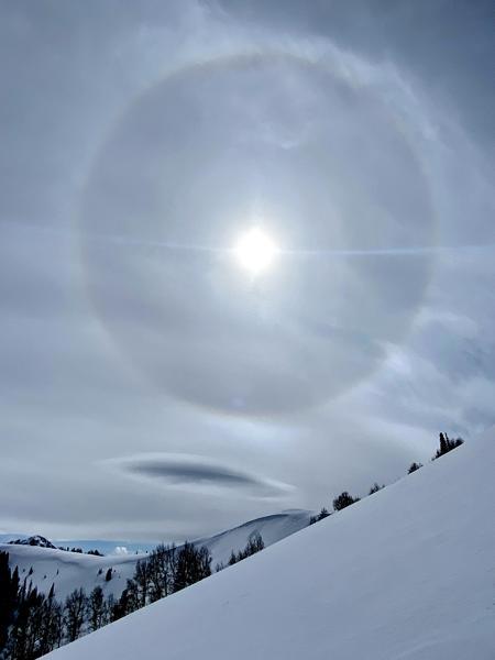
Another .5"-1" of snow fell Wednesday night. Settled HST sits at about 6" along the park city ridgeline with some favored locations approaching a foot deep. This sits atop the variable old snow surface. On sheltered terrain where that surface is old facets the skiing is better. On terrain that gets more wind, the old surface varies from breakable to supportable wind crust. Wind from the last couple days, SW, W, N, and SE at times has created shallow wind slabs along exposed ridges. Pic 1 shows some tiny natural slabs on the left and center that released Wednesday night. Pic 2 shows a slightly bigger intentionally triggered slab from today. About 6" deep and 20' wide failing on a supportable wind crust, NE facing at 9800'. All were very benign and didn't pose much of a hazard in the areas traveled today but similar conditions in consequential terrain should be approached with caution. Pic 3 communicates the next small wave of moisture to arrive for Thursday night.
Today's Observed Danger Rating
Moderate
Tomorrows Estimated Danger Rating
Moderate
Coordinates


