Observation Date
2/16/2022
Observer Name
Champion/Talty
Region
Salt Lake » Big Cottonwood Canyon » Greens Basin
Location Name or Route
Greens Basin
Comments
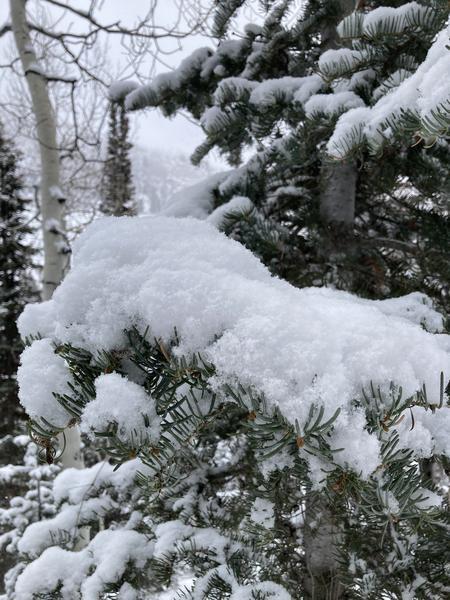
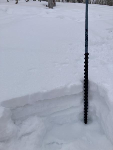
It was a nice change of pace to finally see some snow falling from the sky. While we were traveling, we saw about 4-5" of new snow in most areas of Green's Basin. The snowfall came in very low density, with not much water content. While this improved riding conditions in areas, I don't see this new snow bonding well to the large variety of snow surfaces. Before Tuesday evening the area was covered with such a wide array of snow surfaces, from firm solar crusts, deteriorating temperature crusts, weak faceted snow, firm wind board, and everything in between. Any aspect that did not receive much solar continues to be primarily a facet interface near the surface. See the picture below that shows 4" of new snow, sitting atop of a thermal crust from earlier this week, with facets and deteriorating crusts below.
The amount of snowfall we received was not enough to significantly bump up the danger, beyond some small loose dry avalanches and sensitive wind slabs in the upper elevation wind zones, but it is enough to bond poorly and continue to facet in the upcoming days. The main challenge right now is the amount of variety and spatial variability within the snow surface. Areas not only have different snow surfaces on different aspects, but things can vary greatly from slope to slope and even on certain parts of the same slope. This will continue to make the mapping of weak snow challenging when we do eventually get a slab to form.
Moving into the next few days, I would be concerned about long, fast-running loose sluffs on both the firm snow surface and in previously faceted snow as well as some shallow soft slab avalanches in the wind zone. Winds were primarily calm while we traveled, but when we hit the ridge we noted obvious transport occurring. With such low-density snow, it won't take much to move around. If the sun does come out, I could see the snow becoming damp quickly on the southerlies, but the skies and temps may keep the wet issues at bay.


Today's Observed Danger Rating
Low
Tomorrows Estimated Danger Rating
Moderate
Coordinates


