Join us at our 2nd Annual Blizzard Ball

Forecast for the Salt Lake Area Mountains

Drew Hardesty
Issued by Drew Hardesty on
Friday morning, December 3, 2021
With storms on tap for next week, we will begin issuing daily avalanche forecasts with danger ratings on Monday, December 6th. I anticipate the avalanche to rise in lockstep with the storms.
Keep in mind a few things:
Traumatic injury is likely with early season avalanche involvements.
Carry beacon, shovel, probe, and airbag and travel with a trusted partner.
Low
Moderate
Considerable
High
Extreme
Learn how to read the forecast here
Weather and Snow
You might say that we've had a bit of an up and down winter so far. The Alta Guard, which has kept records since 1944/1945, recorded 36"of snow with 4" of snow water equivalent and led to pretty darn good riding conditions and coverage in October. We (foolishly) were thinking back to October of 2004 where Alta ski area had 81" on the ground on Halloween.
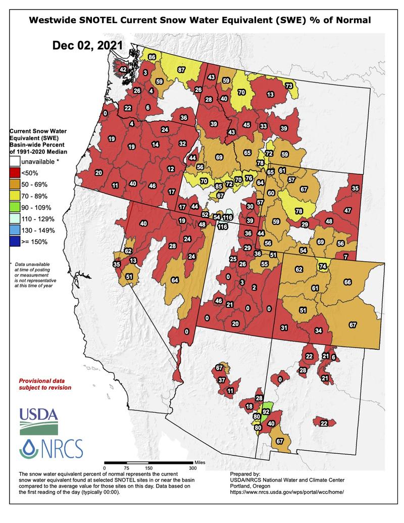
November was dry. The Alta Guard reported 17" of snow and 3" of snow water equivalent for the month. (November averages are 68" and 6.40" snow water equivalent.) The snow water equivalent map for the west below tells the story of drought.
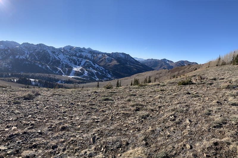
Still, for those of you with glasses half full, 20-30" of snow exists for winter recreation in the upper elevation northerly terrain of the central Wasatch. 5-10" exists on the ground in the Ogden and Provo mountains. Many of the southerly slopes are bare while the east and westerly aspects host various crusts.
The GOOD NEWS is that the weather models have been consistent in advertising not just a break down of the long-overstayed-its-welcome ridge of high pressure, but a series of storms for next week, starting Monday afternoon.
Ad
Avalanche Problem #1
Normal Caution
Type
Location
Likelihood
Size
Description
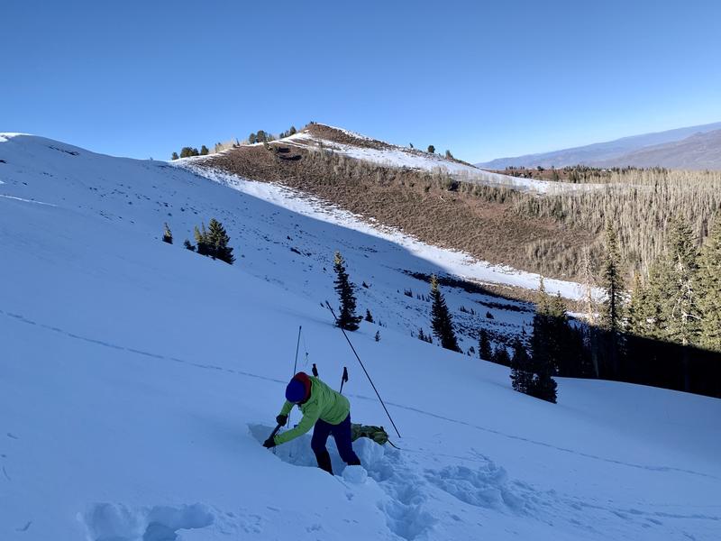
Our current strategy has been to map the extent and structure of old, pre-exising snow. My partner and I looked along the cold upper elevation northerly terrain along the Park City ridgeline today and found 12-18" of snow on the ground that may prove problematic with the upcoming storms. I expect tricky and unmanageable avalanche conditions with expected snow and wind next week. Clearly, areas that had no pre-existing snow will be far safer than areas that did.