Join us at our 2nd Annual Blizzard Ball

Forecast for the Salt Lake Area Mountains

Nikki Champion
Issued by Nikki Champion on
Friday morning, October 29, 2021
If there is enough snow to ski or ride, there is more than enough snow to produce an avalanche. The most likely places to trigger a slide will be on upper elevation slopes where a lingering slab of wind drifted snow could avalanche. Right now, the real danger isn't so much being buried but having the avalanche carry you over consequential terrain, causing traumatic injury. It's still very early in the season with limited skiing and riding options.
We will be issuing intermittent updates and publishing backcountry observations as they arrive. Please continue to submit your observations - Thanks!
Low
Moderate
Considerable
High
Extreme
Learn how to read the forecast here
Special Announcements
The 14th Annual Utah Snow and Avalanche Workshop is virtual again this year and will be held Nov 5th (professional session) and Nov 9th, 10th, 11th evenings from 6-9 pm. More info and speaker lineup on our Events page HERE.
Check all the upcoming education HERE.
Weather and Snow
This morning, we woke up to clear skies, calm winds, and inversion in the mountains with upper elevation temperatures near 40 F and lower elevation temperatures near 30 F. After many days of elevated west-northwestly wind speeds, the wind has finally died down and transitioned to the southwest.
Looking into the weekend, Saturday should be a beautiful day with clear skies, light southwesterly winds, and temperatures crawling into the upper-40s by the afternoon. As we move into Sunday, we begin transitioning into a more active weather pattern. Temperatures will remain in the low 40s F, but some light rain and snowfall could begin after noon. No measurable accumulation is expected by Sunday evening.
Next week, weather remains a bit unsettled throughout the first half of the week with light rain and snowfall expected daily. Accumulation totals expected remain below 5 inches throughout the week.

Heads up - Although snow depths at upper elevations are 2-3 feet deep, the risk of hitting rocks or other buried objects remains high.
Recent Avalanches
No avalanches were observed or reported over the last few days. Continue to check and submit observations as you get out and about.
Ad
Avalanche Problem #1
Normal Caution
Type
Location
Likelihood
Size
Description
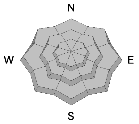
Avalanche conditions in the backcountry are generally safe, keep in mind:
  • Wind Drifted Snow - Strong winds from the past few days may have created isolated pockets of wind drifted snow within the upper elevations. Although these drifts should be small, and generally stabilizing, you want to avoid getting caught in one in steep, consequential terrain.
  • New Snow - The past few days of warm temperatures should have stabilized most of this week's new snow, but in upper elevation protected terrain you may be able to find some lingering new snow. Keep an eye out for small sluffs in the steepest terrain.

As more snow begins to fall, there are a few things to remember:
  1. Triggering any avalanche regardless of it's size can produce serious trauma even if it doesn't bury you because the snowpack is so thin.
  2. Hitting rocks and stumps is a real danger. Don't end your season before it starts with an injury from hitting one of these obstacles.
  3. Early season avalanches are a real possibility. It doesn't matter if you are hiking, hunting, skiing, etc., be prepared with correct rescue gear and a partner. Many people have died during early season snowstorms.
  4. Ski resorts all have different uphill travel policies. These closed resorts that allow uphill travel can be great places to get in a little skiing especially in you know of a rock-free slope, but it should be treated as backcountry terrain. We will soon have an up to date resource on all the ski resorts individual policies.
General Announcements

This information does not apply to developed ski areas or highways where avalanche control is normally done. This forecast is from the U.S.D.A. Forest Service, which is solely responsible for its content. This forecast describes general avalanche conditions and local variations always occur.