
Forecast for the Uintas Area Mountains

Issued by Craig Gordon on
Wednesday morning, October 20, 2021
Wednesday morning, October 20, 2021
 Special Announcements
And make sure to set some time aside on Nov. 9, 10, and 11 from 6:00-9:00 to join us for the 14th annual Utah Snow and Avalanche Workshop (USAW).
Tuesday Nov. 9th 6:00-9:00 PM
Evaluating snow structure while integrating both new and old technologies to determine avalanche hazards. Register HERE
Wednesday Nov. 10th 6:00- 9:00 PM
Bridge, bombs, and blower: The snowpack and weather factors that led to underwhelming snowfall, yet devastating avalanche conditions during the 2020-2021 season. Register HERE
Thursday Nov. 11th 6:00- 9:00 PM
Decision-making and human interaction with a deceptively tricky snowpack. Register HERE
 Weather and Snow
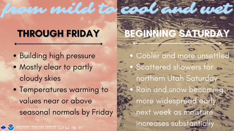
Big changes headed our way next week!
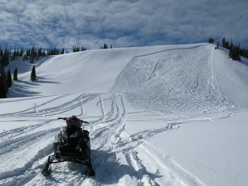
Michael Janulaitis was in Weber Canyon yesterday and reports good stability and a homogenous snowpack with approx. 16" of total settled snow.
Looking for real-time temps, snow, or wind?
Click HERE and then on the "western Uinta" tab for western Uinta specific, weather station network.
As the seasons change, we're interested in what you're seeing. Go here to fill out an observation.
 Recent Avalanches
Observations, trip reports, and avalanches found here.

Avalanche Problem #1
Wind Drifted Snow
Type
Location
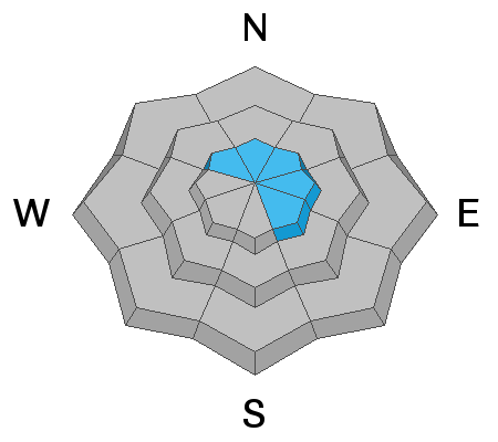
Likelihood
Size
Description

Southerly winds whipped up a few fresh drifts along the leeward side of the highest ridgelines so it's time to start thinking about avalanches and more importantly... the consequences of triggering a slide. Remember- even a small wind drift packs enough punch to knock you off your feet and may result in a season ending injury if you slam into a stump, rock, or deadfall barely hidden under the shallow snow.
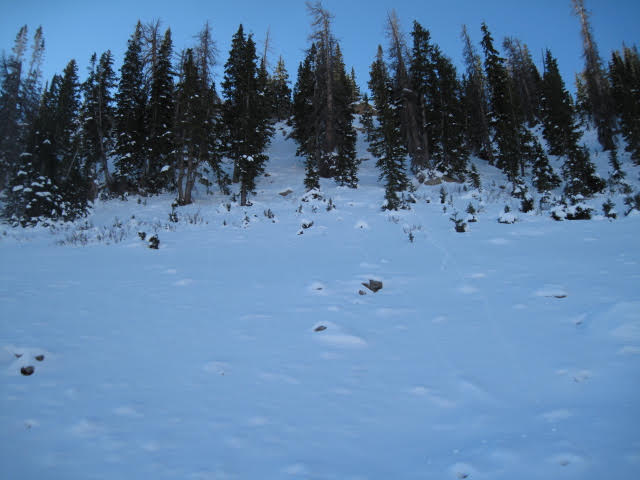
Ted Scroggin, avy pro extraordinaire and the glue that holds the Uinta program together, was near Bald Mountain Pass and Murdock Bowl over the weekend and reports connected patches of snow with lots of boulders in between. And while we squeezed and an additional foot of medium density snow out of yesterdays storm, there's hardly enough snow to ride on just yet.
Additional Information
As the seasons shift we will see you back here more frequently
Your observations are important, so please let me know what you're seeing... click HERE and contribute to this amazing community based program
General Announcements
I will update this forecast as conditions change and then once winter kicks you can expect the usual daily forecasts issued by 07:00... or perhaps earlier :)
Before it gets too crazy, now is the time to book an avalanche awareness presentation for your group, club, or posse. You can reach me directly at 801-231-2170 or [email protected]
This forecast is from the U.S.D.A. Forest Service, which is solely responsible for its content. This forecast describes general avalanche conditions and local variations always occur.