Join us at our 2nd Annual Blizzard Ball

Forecast for the Salt Lake Area Mountains

Nikki Champion
Issued by Nikki Champion on
Monday morning, April 12, 2021
The avalanche danger is LOW and, avalanche conditions are generally safe. Watch for unstable snow on isolated terrain features. Natural and human-triggered avalanches are unlikely. However, small avalanches can happen in areas of extreme terrain.
Continue to maintain safe travel habits; this means exposing one person at a time to avalanche terrain, having someone watch them from a safe location, and not traveling above or below other parties.
Low
Moderate
Considerable
High
Extreme
Learn how to read the forecast here
Special Announcements
Sunday, April 18th will be the 163rd avalanche forecast and the last one for the 2020/2021 season. For the rest of the month of April, we will provide updates on the snow and weather anytime it snows which is hopefully a lot. We will also continue to post observations.
Weather and Snow
This morning, skies are clear and the northwest flow provided another cool night with a significant re-freeze. Currently, mountain temperatures range from the mid-teens to low-20s °F. The west-northwesterly winds have begun decreasing since yesterday and are currently blowing at speeds of 5-15 mph, with gusts up to 35 mph at the highest elevations.
Today, we will have another clear and sunny day with slightly warmer temperatures under the northwest flow. Temperatures will climb into the mid and upper 30's at 9,000' later this afternoon. The Northwesterly winds are forecast to decrease throughout the morning,
If you're after corn today, consider the elevation and time of day as your tools to adjust the temperature of the snow surface. If you go too high in elevation too early, I fear the snow surface with the elevated winds and colder temperatures may not thaw until midday or early afternoon. Lose some elevation and find where the snow is smooth and becoming soft with the sun.

The northwest flow will transition more southwesterly ahead of a low-pressure system gathering over the area. This will first bring elevated winds overnight, and into Tuesday morning. Followed by precipitation and elevated winds Tuesday night into Wednesday morning. This system will be slow-moving and spring-like, so precipitation accumulations will be somewhat convectively oriented. We are currently looking at snow totals anywhere between 8-14" by April 16th.
Recent Avalanches
No new avalanches reported in the backcountry. Some large, human-sized, roller balls reported as the snow surface became damp.

Our Week in Review - where we highlight significant snow and avalanche activity from the prior week - has been published.
Ad
Avalanche Problem #1
Normal Caution
Type
Location
Likelihood
Size
Description
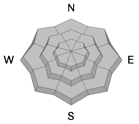
Avalanche conditions in the backcountry are generally safe, keep in mind:
1. Strong winds from the past few days and overnight may have created isolated pockets of wind drifts at mid and upper elevation northerly terrain. Although these drifts should be small, you want to avoid getting caught in one in steep, consequential terrain.
2. Strong sunshine today may produce small, wet avalanches on aspects facing east, south, and west, as well as low and mid-elevation northerly aspects. Look for rollerballs, and pinwheels as the first sign that the snow is becoming damp.
3. With the snow surface frozen solid this morning, slide for life conditions do exist. Falling on a long sustained steep slope could be very dangerous. An ice axe, crampons, whippet, and the ability to self-arrest - are great tools to have if travelling on these firm surfaces.
Remember that even a small avalanche can be problematic in very steep and complicated terrain. Think about the terrain you are travelling above today.
Avalanche Problem #2
Gliding Snow
Type
Location
Likelihood
Size
Description
The glide avalanche in Broads Fork on Wednesday and Friday is a good reminder this avalanche problem will be a threat for the rest of the spring. It's best to avoid terrain with steep, smooth rock features or terrain that is very grassy and smooth underneath the winter snowpack. Places like Broads Fork and Stairs Gulch are best to avoid this time of year as at any moment; a full depth avalanche can release on these smooth rock slabs.
General Announcements
Please visit this website with information about Responsible Winter Recreation by the Utah Office of Outdoor Recreation.

This information does not apply to developed ski areas or highways where avalanche control is normally done. This forecast is from the U.S.D.A. Forest Service, which is solely responsible for its content. This forecast describes general avalanche conditions and local variations always occur.