Observation Date
4/11/2021
Observer Name
Nauman, Ament
Region
Moab
Location Name or Route
La Sals North Cluster
Weather
Sky
Clear
Wind Direction
West
Wind Speed
Strong
Weather Comments
We decided to do an alpine tour in the north cluster of the La Sals. The weather down low was quite warm, but as we got close to timberline the wind was quite strong and we had to layer up. There was wind in the forecast, but we had to layer up and it was downright cold up high.
Snow Characteristics
Snow Surface Conditions
Dense Loose
Wind Crust
Melt-Freeze Crust
Damp
Snow Characteristics Comments
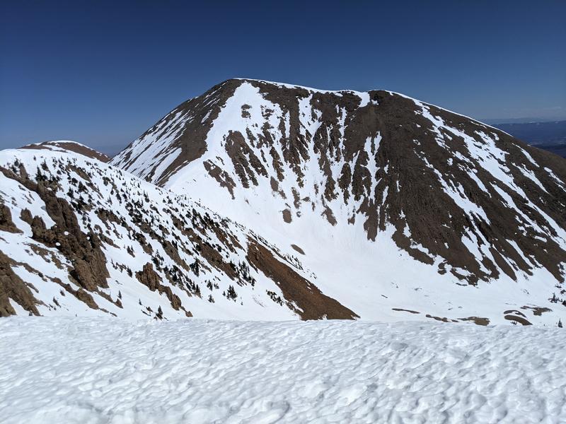
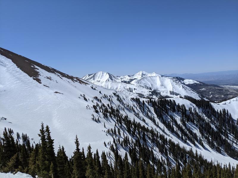
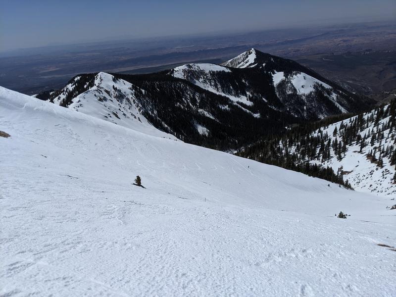
The snow was extremely variable. Our thought process was to look for a corn cycle up high, but this really did not manifest today above 11,200' due to wind despite the full bluebird skies. There were isolated wind sheltered areas that loosened up and we did observe wind sheltered slopes looking down into the eastern flanks of the range where it looked like snow was loosening up, but our logistics did not allow for us to ski those aspects. The snow surface was also quite rough in many areas with ~2-3" small ridges from recurring freeze-thaw and wind impacts - kind of catchy to ski requiring either jump turns or very patient turn initiation. Numerous areas have also picked up various sorts of sun spots and patterns that require spry legs. We managed to find some softish snow on a sheltered north face, but there were some unpredictable pockets on that aspect as well. The north aspects we observed up high are yet to transition to the coveted spring corn cycle - still need some time. The solar aspects are loosing snow very fast.
Red Flags
Red Flags
Rapid Warming
Red Flags Comments
The snow at lower elevations was getting quite sloppy and unsupportable on our tour out. You would have to try, but mid-elevation solar aspects were wet enough to slide and we did see a couple small point releases and some roller balls, but quite localized. Other than that we had no red flags and the snowpack seems like it is pretty solid right now so long as we keep getting refreezes. The north faces do still have some pockets of more wintery snowpack that might still have the potential to release on our old weak layers, but this seems unlikely at this point.
Avalanche Problem #1
Problem
Wet Snow
Problem #1 Comments
Just have to watch out for warm afternoon wet slide activity.
Comments
Snow is going fast on solar aspects.
Northerly aspects that still haven't fully transitioned to a spring snowpack.
Roughed snow surface on west aspect that transitions to a softer, but inconsistent surface on far more northerly aspect. This west face hadn't really softened up at all by ~2:30 when we headed back down.
Today's Observed Danger Rating
Low
Tomorrows Estimated Danger Rating
Low