


Observation Date
3/26/2021
Observer Name
Michael Janulaitis
Region
Uintas » Lower Weber Drainage
Location Name or Route
Lower Weber Canyon
Comments
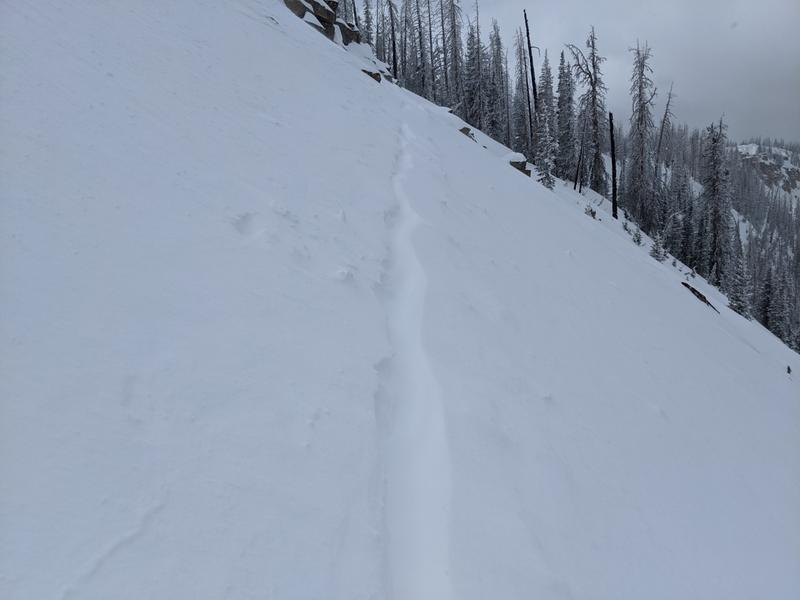
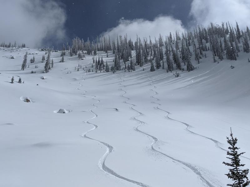
I got out this afternoon and skied above 10K. Thanks to the cold weather the snow pack is solid above 7500k and it's a go anywhere surface and structure. The sun poked out for moments but otherwise it was mostly cloudy with various snow showers passing through dropping 1-2 inches throughout the afternoon. The new snow has been preserved for tomorrow's enjoyment. As expected in late March the steep north is where the good snow is at. The new snow has boned very well with last weeks snow and sluffing is minimal. The only thing I could take a pick of was the new snow blowing over my track on the ridge line each pass, however that was limited to the highest ridge line. So there are some ski tracks and as you can see even up high on the steep the snow stuck.
Today's Observed Danger Rating
Low
Tomorrows Estimated Danger Rating
Low