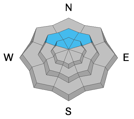
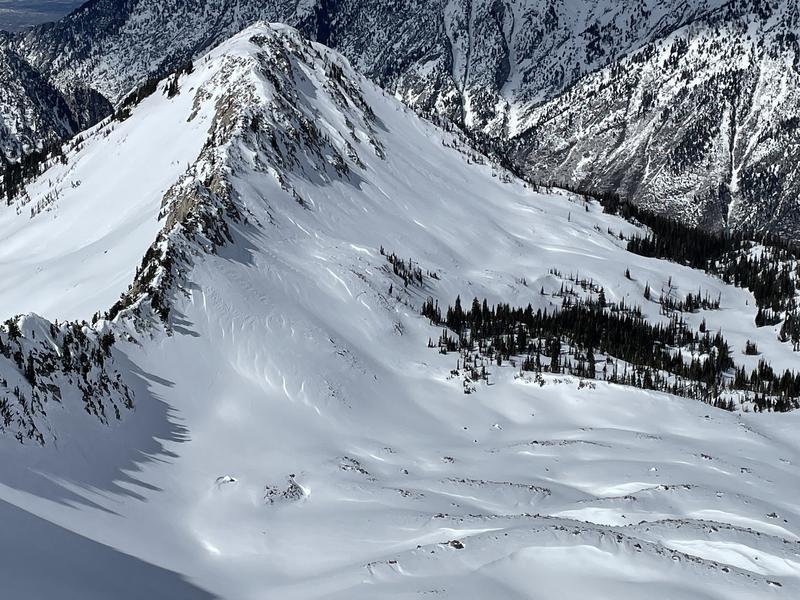
Four riders were boot packing up the east ridge of the Pfeifferhorn when a shallow 2-6 inch deep wind slab failed. All four people were caught and carried, and some suffered injuries. Link to the report can be found
HERE. This morning it's snowing lightly in the mountains as a closed low (storm) currently spins over Las Vegas. As this closed low rotates counter-clockwise (cyclonic) and moves eastward, we will continue to see some spillover moisture on an easterly flow here in the Wasatch. Typically this is not a good pattern for accumulating snow for Northern Utah. Still, it looks like we've already picked up 3-6 inches of new snow overnight in the Cottonwoods, with the Park City Ridgeline being favored with closer to 10" of new snow. Fingers crossed that this lingers longer than expected, and we stack some flakes. As this storm moves eastward into Arizona, we could see an increase in the east winds today, with speeds hitting 10-20 mph at the uppermost ridgelines.
Current mountain temperatures are in the low 20's °F, and the winds are dead calm this morning. Hopefully, the winds will remain calm, but with east winds, you never know. The snow surface has taken a beating over the past few days from warm temperatures, sun, and wind. Only mid to upper elevation wind and sun-protected slopes held dry settled powder snow. That being said - with the overnight new snow, I suspect the riding conditions are getting better by the minute.
No new avalanches were reported from the backcountry yesterday. But on Sunday, we had close to 15 human-triggered wind slabs reported with numerous people caught and carried. You can find all the recent avalanche activity
HERE.


