The
accident report for the tragic avalanche that killed four skiers in Millcreek Canyon on Saturday, Feb 6, is complete. All were well-known members of the backcountry community and all of us at the UAC are deeply affected. Our deep and sincere condolences go out to the family and friends so affected by this accident.
The Geyser Pass Road was plowed on Tuesday. The surface is snow-packed over dirt. All-wheel drive with good tires is recommended.
The Lower Utah Nordic Alliance (LUNA) plans to go up today to pack out trails and to start grooming.
I'm shooting somewhat blind this morning with a dearth of reliable weather data. It appears as though 3"-5" of low-density snow has fallen in the past 24 hours. NW winds are mostly light. Today look for cloudy skies with a slight chance for light showers with no accumulation expected. NW winds will blow in the 10-15 mph range and high temps will be in the mid to upper teens. Thursday looks like a nice, sunny day.
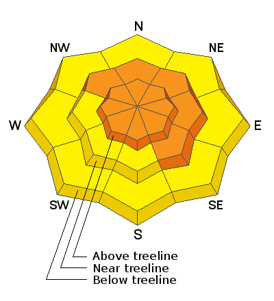
Snowpack Discussion
I don't expect the current snowfall to change the avalanche danger much but will rather maintain the status quo. On Saturday, almost 15" of new snow fell at more than 1.5" SWE (snow water equivalent) in a 12 hour period accompanied by 8-10 hours of moderate to strong SW winds. This was the greatest single loading event of the season, and with our pre-existing weak snowpack it gave me considerable cause for concern. On Sunday we had a good look around under sunny skies, and natural avalanche activity was surprisingly limited. Signs of instability were also quite muted although we did experience a collapse on a skin trail that had already seen at least a dozen skiers. Persistent weak layer problems are deceptive and outward signs of instability are not always present. But with the current snowpack structure, avoidance of slopes steeper than 30 degrees is the only safe bet.
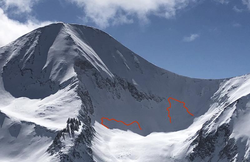
Conditions report from Sunday, Feb 14:
In our travels on Sunday, we observed these two natural avalanches from a distance beneath the N Face of Mount Tukuhnikivatz in Red Snow Cirque. Somewhat "pockety" in nature, they nevertheless had crowns up to 4' deep and could have easily buried or killed someone. Human-triggered avalanches such as this remain likely.
Charlie Ramser was up in Horse Creek Monday where he reported seeing this
avalanche.