Observation Date
2/1/2021
Observer Name
Doug
Region
Southwest » Tushers » Delano
Location Name or Route
Tushars
Comments
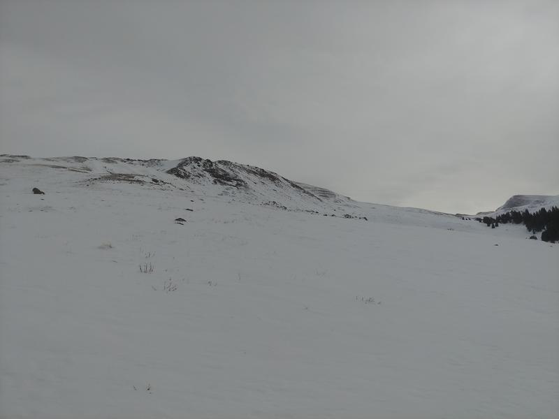
Terrain covered included west ridge of Delano and glades above Big John Flat. Upper elevations received 8-10" of medium-density snow in the 1/29 cycle, but most of this has been condensed into windboard/suncrust above treeline. Travel above treeline is generally safe if one can avoid the windslabs, as there is not much coverage elsewhere. Riding conditions are generally best in areas protected from sun/wind in the 10-11,000 foot elevations where the base is 25-35". Widespread collapses were noted under treeline on all aspects, though more notably in areas with less sun exposure. Overall the snowpack is weak on most aspects and elevations, but there is not enough snow to form a cohesive slab in many places. I suspect a widespread avalanche cycle if this range receives a big storm in the coming weeks. Big lines may not fill in if this weather trend continues, and if they do it may be a while before they are stable.

Today's Observed Danger Rating
Considerable
Tomorrows Estimated Danger Rating
Considerable


