Observation Date
1/28/2021
Observer Name
Ted Scroggin
Region
Uintas » Bear River Ranger District » Gold Hill
Location Name or Route
Mill City
Weather
Sky
Obscured
Precipitation
Moderate Snowfall
Wind Direction
South
Wind Speed
Moderate
Weather Comments
Kind of burly out there today with gusty south winds, moderate snowfall and visibility somewhat limited until early afternoon.
Snow Characteristics
New Snow Depth
4"
New Snow Density
Medium
Snow Surface Conditions
Powder
Wind Crust
Snow Characteristics Comments
Hard to tell exactly how much new snow with all the wind the last two days, but looked like 4-6" of dense wind blown snow.
Red Flags
Red Flags
Wind Loading
Cracking
Poor Snowpack Structure
Red Flags Comments
Gusty winds the last two days have changed the landscape creating some dense drifted snow that has likely overloaded the weak snow pack. The new snow and wind created some slabby snow conditions that would crack around skis and sleds.
Avalanche Problem #1
Problem
Wind Drifted Snow
Trend
Same
Problem #1 Comments
Did not see much high elevation terrain today that was getting worked by the strong winds for two days. I would imagine many slopes are just waiting for a trigger to avalanche. The winds will have created a dense slab of snow on top of a weak snow pack, not a good set up!
Avalanche Problem #2
Problem
Persistent Weak Layer
Trend
Increasing Danger
Problem #2 Comments
I would sure think most of the ingredients for a slab avalanche are in place except for the trigger. Strong winds and some new snow to blow around will tip the scales.
Comments
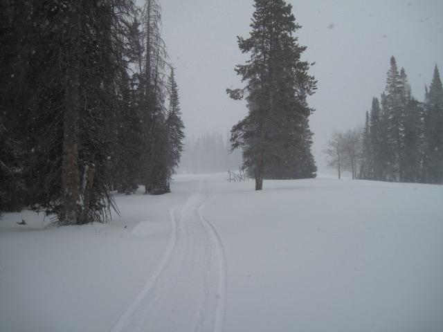
I stayed in some mid elevation terrain, but still could not get out of the wind. The trail riding into Mill City was a mix of new snow and some fairly dense and deep drifted snow. The higher terrain I'm sure was getting hammered with wind.
There might be 4-6" of new snow from yesterday and today, but with so much wind it is hard to tell.
Today's Observed Danger Rating
Considerable
Tomorrows Estimated Danger Rating
Considerable
Coordinates