Forecast for the Uintas Area Mountains

Mark Staples
Issued by Mark Staples on
Thursday morning, January 21, 2021
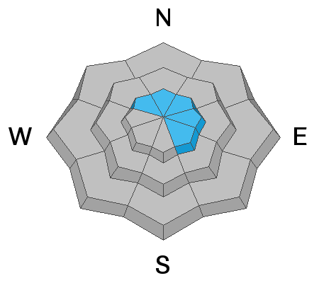
Today the avalanche danger is MODERATE on upper elevation slopes especially on ones loaded by strong winds early this week. Ironically, this terrain has the best coverage and the most snow, but human triggered avalanches are POSSIBLE. Any slide triggered may break into weak, sugary, faceted snow, creating a larger avalanche than you might expect.
All other slopes at mid and low elevations offer minimal snow cover and generally LOW avalanche danger.
The good news - a storm late Friday and all of Saturday could bring significant snowfall and great riding conditions. The bad news - this snowfall will create very dangerous and very tricky avalanche conditions.
Low
Moderate
Considerable
High
Extreme
Learn how to read the forecast here
Special Announcements
Discount lift tickets are available thanks to the generous support of our local resorts, Ski Utah, and Backcountry. Support the UAC while you ski at the resorts this season. Tickets are available here.
Weather and Snow
Nowcast-
This morning temperatures are in the upper teens F with some high clouds in the sky. Winds are blowing from the west southwest 15-20 mph on the high peaks, but they are mostly light at lower elevations. The main weather affecting the snow was Monday night's strong winds that blew from the east.
Forecast-
Today should be partly sunny and temperatures should warm into the upper 20s F. Winds shouldn't change much from what they're doing this morning.
Futurecast-
Snowfall should begin Friday afternoon or evening with the heaviest snowfall occurring Saturday. There is some uncertainty about the exact storm track which will affect how much snow falls. Weather models are showing anywhere from 5-25 inches of snow. The official NWS forecast calls from 12-18 inches of snow. Snowfall should mostly end Saturday night and the sun will appear on Sunday. Another storm will bring much smaller snow amounts sometime Monday and Tuesday.

Looking for real-time temps, snow, or wind?
Click here and then on the "western Uinta" tab for western Uinta specific, weather station network.
Recent Avalanches
No significant avalanche activity to report. But you can check here for updated trip reports and avalanche observations..
Ad
Avalanche Problem #1
Persistent Weak Layer
Type
Location
Likelihood
Size
Description
The main places where you could trigger an avalanche are upper elevation slopes loaded by snow blown by strong east winds early this week. Look for signs of wind-blow snow which added some weight and stress to buried weak layers, and avoid these slopes.
A generally dry winter so far has dramatically weakened the snowpack which is weak, rotten, sugary and faceted. In many places the entire snowpack is sugary and faceted and lacks a slab on top of this persistent weak layer to produce an avalanche. At higher elevations where the snowpack is deeper, the bottom 1/3 to 1/2 of the snowpack is facets with a slab on top that could produce an avalanche. In some places there are two distinct weak layers, one closer to the ground and one about a foot deep as JG found two days ago and described in his great observation.
Looking ahead - The approaching storm will create dangerous avalanche conditions. What's especially scary this weekend is that you won't have to ride on a steep slope to trigger an avalanche. Just going near or under a steep slope will be enough to trigger an avalanche that comes crashing down.
Additional Information
I will update this forecast by 7:00 AM tomorrow, Friday January 22nd.
Your observations are import, so please let me know what you're seeing... click HERE and contribute to this amazing community based program
General Announcements
If you see or trigger an avalanche or just wanna let me know what you're seeing you can reach me directly at 801-231-2170 or [email protected]
This forecast is from the U.S.D.A. Forest Service, which is solely responsible for its content. This forecast describes general avalanche conditions and local variations always occur.