Observation: Timpanogos

Observation Date
12/20/2020
Observer Name
Hardesty, Diegel, UDOT Provo Canyon John Woodruff
Region
Provo » Provo Canyon » Timpanogos
Location Name or Route
Timpanogos
Weather
Sky
Few
Wind Direction
Northwest
Wind Speed
Calm
Weather Comments
We were protected from northwest winds. Warm and partly cloudy becoming mostly cloudy by early afternoon.
Snow Characteristics
New Snow Depth
8"
New Snow Density
Medium
Snow Surface Conditions
Powder
Wind Crust
Damp
Snow Characteristics Comments
Small 2mm surface hoar capped by a very thin wind skin. Total snowdepths are 12" down low and 30"' at 9500' in the Provo mountains.
Thursday storm totals were 11"/0.95"SWE as reported by UDOT Provo Canyon.
Overall it's a thin and weak snowpack (65% of normal) and conditionally unstable. Need a more consolidated slab through either a wind event or snow event and Provo will see a signifianct cycle.
Provo weather charts and weather forecasts can be found HERE
Red Flags
Red Flags
Recent Avalanches
Heavy Snowfall
Wind Loading
Cracking
Collapsing
Poor Snowpack Structure
Red Flags Comments
All but one red flag checked. Structure is poor, but mostly lacking a well consolidated and connected slab. Cracking and collapsing noted from 9000' down to 7000' in shady terrain.
Avalanche Problem #1
Problem
Persistent Weak Layer
Trend
Same
Problem #1 Comments
Much has changed since my last visit to Provo December 4th. At that time, 1-2' of snow existed on the ground with a base consisting of a hard melt-freeze crust capped with mostly loose faceted snow (a few decomposing crusts thrown in). Facet sluffs noted in sheltered terrain apart from hard wind slabs on more exposed slopes. Now we have a foot of storm(s) snow above this. As stated above, this "slab" is soft, not well connected and generally lacking except in wind drifted areas most likely in the highest elevations.
Still, collapsing, cracking, and easy full propagation snow tests hint at what may come.
ECTP15 @NW 8500'
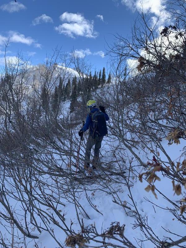
UDOT Provo Canyon forecaster John Woodruff looks at the snowpack at roughly 7500' northerly aspect.

We triggered two small avalanches on very steep (>40°) rollovers on northeast facing slopes at 9000' and again at 8500'. Each were isolated wind pockets failing on the old faceted snow 14" deep and 30' wide.
Avalanche Problem #2
Problem
Persistent Weak Layer
Problem #2 Comments
Sure it's redundant as Problem #1 is also PWL. Below is a photo of Timpanogos that comprises mostly northeast>south facing terrain up to 10,650'.
Some uncertainty lies with overall spatial distribution of PWL....
PWL exists on Northwest through Northeast at all elevations.
Upper elevation West and East likely harbor faceted snow. Mid-elevations at these aspects less likely, though possibly east.
Southwest to Southeast have much less likelihood of holding older faceted snow.
Snow Profile
Aspect
Northwest
Elevation
8,500'
Slope Angle
30°
Today's Observed Danger Rating
Considerable
Tomorrows Estimated Danger Rating
None