

Observation Date
12/19/2020
Observer Name
Bill Nalli
Region
Salt Lake » Park City Ridgeline
Location Name or Route
Park City Ridgeline
Comments
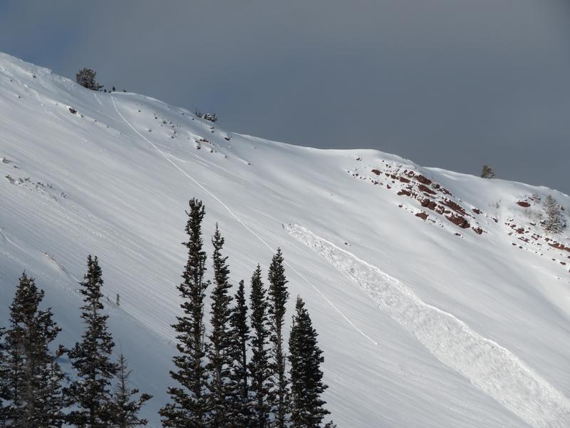
Travel was up USA Bowl to PC Ridgeline, No Name, S and W Monitor, Wills Hill. Still very low snow on slopes that get the most sun in upper BCC, approx. 25cm. E thru N thru NW aspects are most suspect currently as this is where the slab on top of the garbage is thickest, 50-80cm. The recent load is adjusting and the result is a more stubborn instability that should not be trusted. One more recent avalanche was seen skiers left in W. Monitor, East facing at 9800'. R1-D2 but significant because it may have been triggered early today by a party stomping the cornice above collapsing the upper start zone and remotely triggering a mid-slope pocket. Many deep cracks can be seen above the crown.
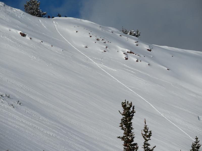
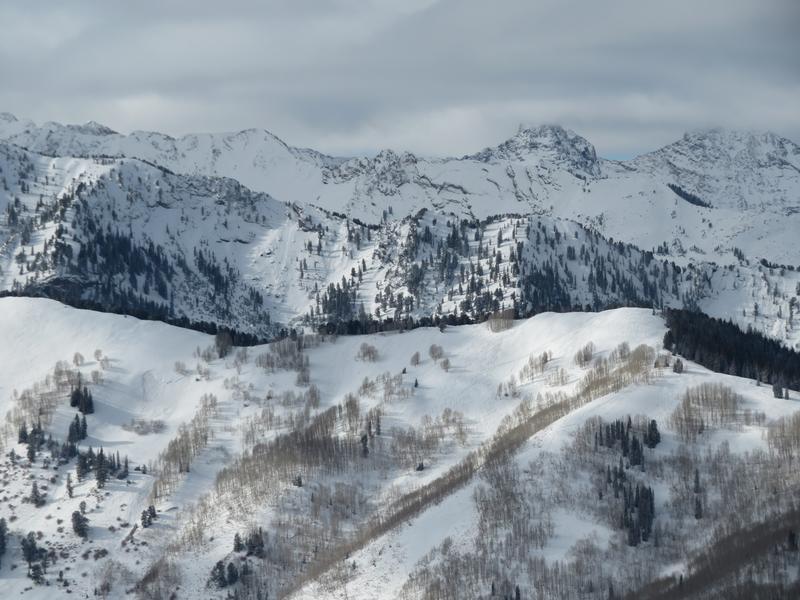
Inconsistent but strong ridgetop loading was occuring most of the day adding to the instabilty especially from noon onward. Pic of the NE aspect in W. Monitor.
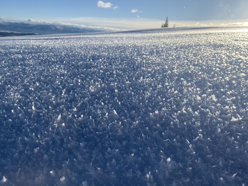
Despite the wind, sheltered mid elevation N thru W starting zones still harbor significant large grain facets and surface hoar up to 8mm after only one night of cold and clear.
The significant N cycle can be seen in all directions on mainly N thru E aspects. Pic is looking at the Silver Fork Meadows with slides visible in El Rolo and along the Reed and Benson Ridge.
Today's Observed Danger Rating
Considerable
Tomorrows Estimated Danger Rating
Considerable
Coordinates