Observation Date
12/18/2020
Observer Name
Garcia/Ament
Region
Moab
Location Name or Route
Gold Basin/Tele Gold
Weather
Sky
Few
Weather Comments
Partly cloudy skies early gave way to full on clear skies. Winds were non existent. Temps in the low 20's.
Snow Characteristics
New Snow Depth
5"
New Snow Density
Medium
Snow Surface Conditions
Powder
Snow Characteristics Comments
4.5" on the stake in Gold Basin, 22" total depth at the study plot. Depth varies dramatically depending on aspect and elevation. Still not enough to ski. Travel with skins on is still quite difficult in many places due to low snow. In some areas we were breaking trail in about 10" of fresh snow.
Red Flags
Red Flags
Cracking
Poor Snowpack Structure
Red Flags Comments
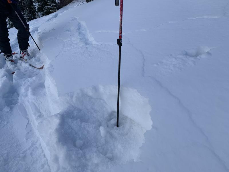
We experienced a good amount of cracking in the new snow on specific terrain features. Cracking occurred on WSW faces in the lower Funnel as well as NE facing Tele Heaven. Cracks were running long, and I experienced some shooting out as far as 50 feet in front of me. The new snow from last night is well bonded to the last round of snow that fell on 12/12. These two layers have formed a very soft cohesive slab sitting on top of medium sized (I would estimate 2mm) facets on top of a hard crust. This structure existed on both the solar aspects and the shady NE facing slopes of Tele Heaven.
Avalanche Problem #1
Problem
New Snow
Trend
Decreasing Danger
Problem #1 Comments
Shooting cracks on specific terrain features. See above.
Avalanche Problem #2
Problem
Persistent Weak Layer
Trend
Same
Problem #2 Comments
A facet/crust/facet combination exists in the bottom of the pack that will cause problems when we add more snow.
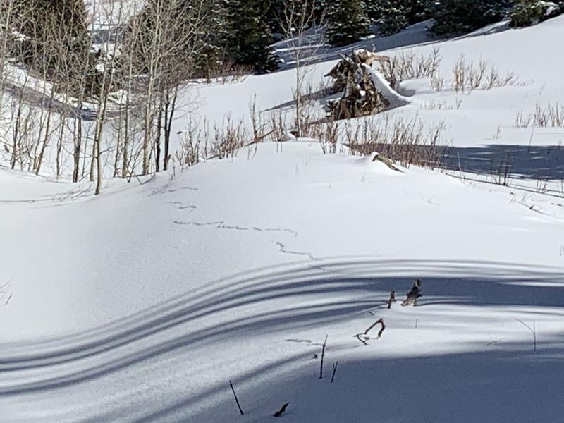
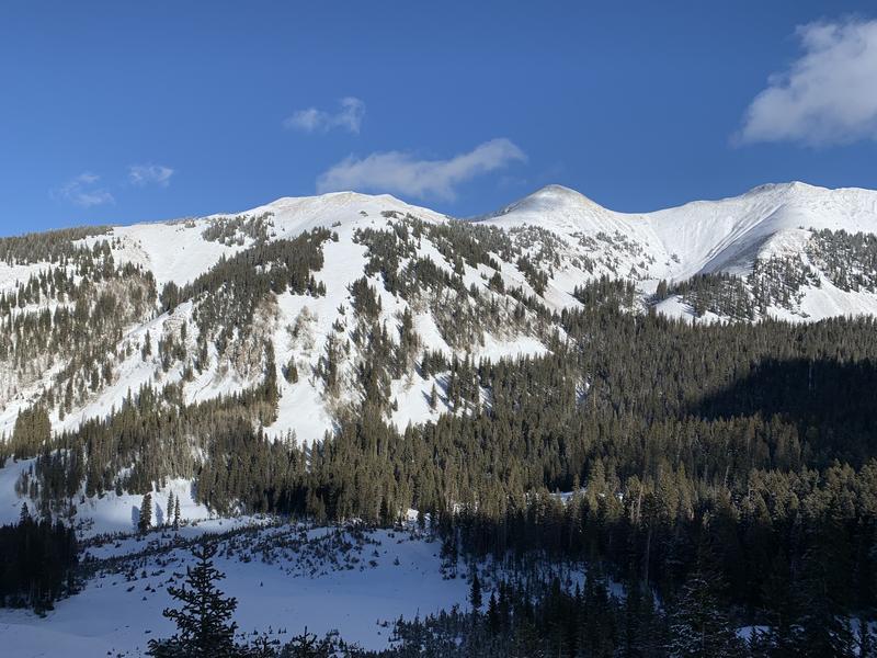
Photo 1 and 2: Shooting cracks in the new snow. Photo 3: Soft slab on medium facets. Photo 4 and 5: Scenic shots to show snow cover (or lack thereof). Moderate danger upper elevation North and East. Low danger elsewhere. Lack of snow makes it pretty difficult to get into terrain with significant danger right now.
Today's Observed Danger Rating
Moderate
Tomorrows Estimated Danger Rating
Moderate
Coordinates


