

Observation Date
12/13/2020
Observer Name
Wilson, Hardesty
Region
Salt Lake » Little Cottonwood Canyon » Davenport Hill
Location Name or Route
Grizzly, Silver Fork East Bowl
Comments
Our primary question was whether the new snow would act as a slab over the weak facets and facet/crust combos. Would the wind have consolidated snow, allowing for larger slab avalanches on lee ridge-lines? Would warmer temps and morning sun do the trick? Or would fast and long running dry sluffs be the primary concern?
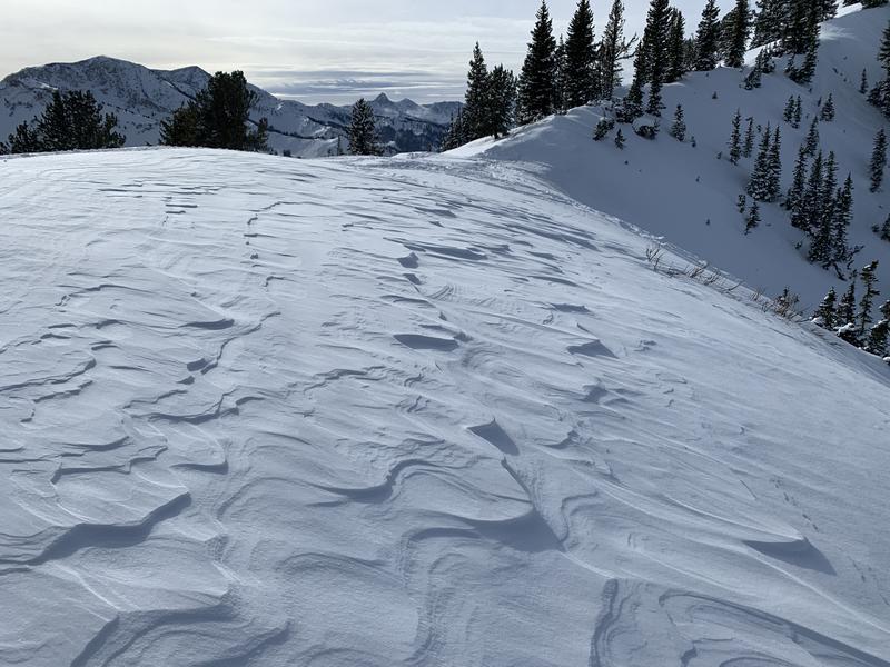
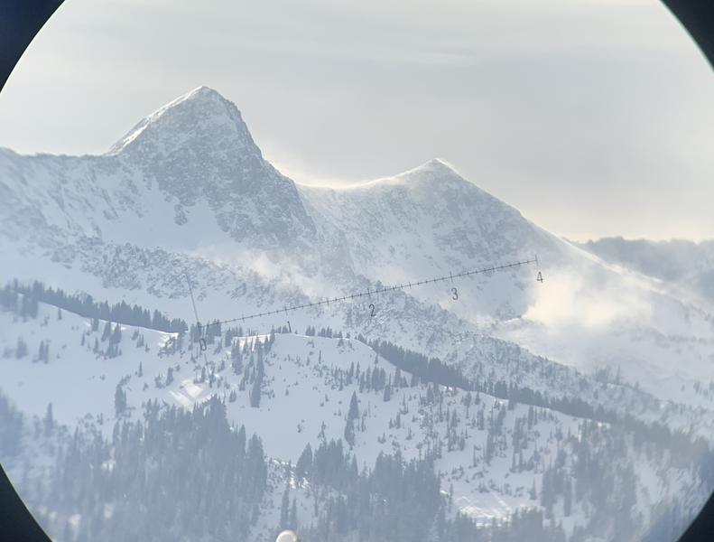
In the terrain we visited, wind impact was limited to the ridge lines (see photo of scouring and scalloping on East Bowl), and we did not find wind slabs. This might be a different story tomorrow; winds this evening have ramped up and the SW direction will load our most suspect terrain. Settlement and consolidation was evident on solar aspects, but the effect wasn't enough to allow propagation in our pits or for us to trigger slabs on small test slopes.
None-the-less, the many naturals from yesterday demonstrated that in steep locations the faceted surface snow was weak enough to propagate a fracture and fail when loaded with even loose 5% fluff. "Slab" is relative to the weak layer. Seen in Grizzly, Michigan City (various), upper east bowl.
Photos:
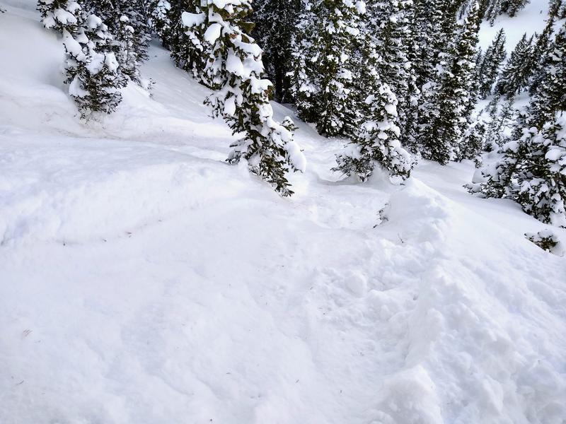
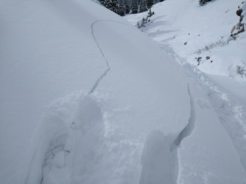
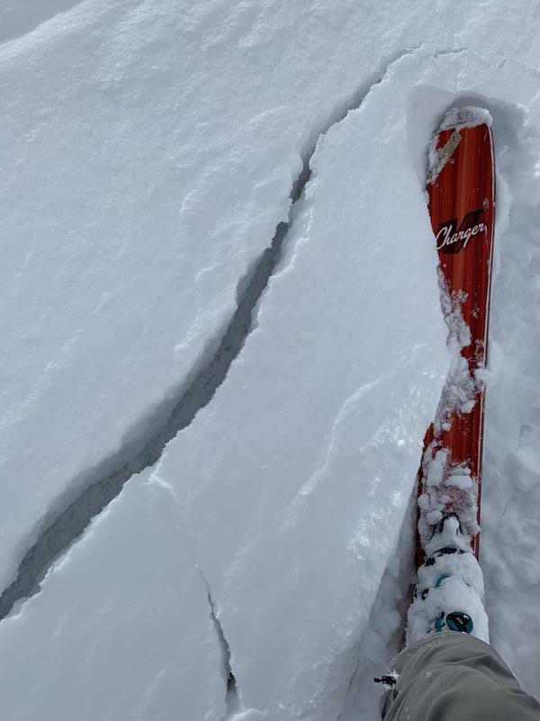
Dry sluffs still easy to trigger, deep gouging into the underlying facets, long running
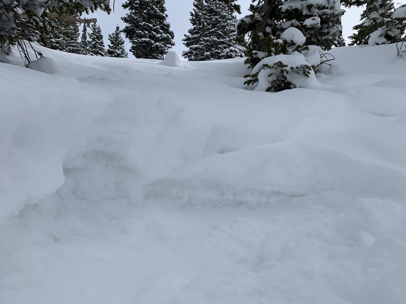
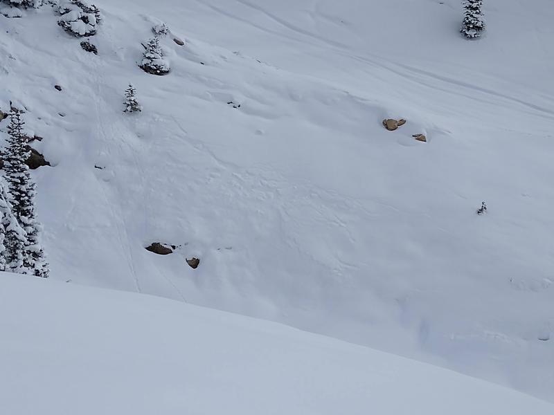
Natural slab avalanches from yesterday (deeper, shallower)
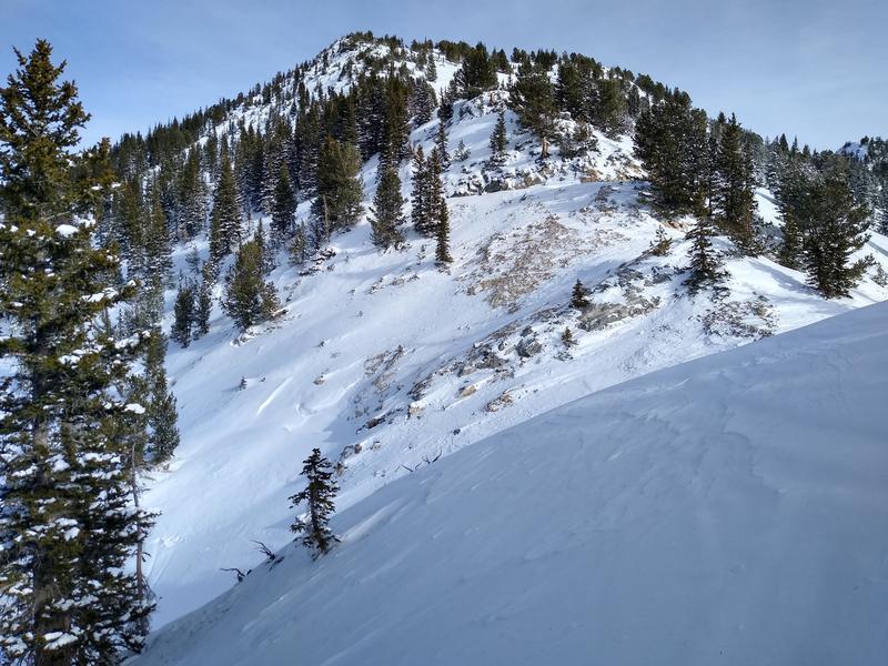
Wind impact limited
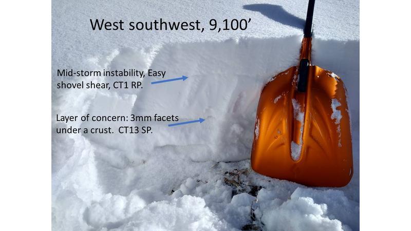
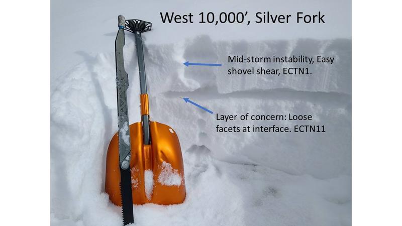
Cracking was limited today, but broke on the weak facets. These facets are on the surface on the north half of the compass. On southwest aspects, the weakest snow is not the old surface but rather facets between two crusts. A mid-storm instability is evident in shovel tilt tests and compression tests, but was not active on slopes and will heal quickly.
Video
Photos:
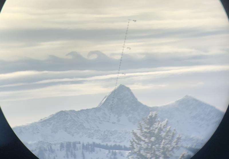
Crazy surf-wave clouds over the Pfiefferhorn.
Also first evidence of blowing snow begins around 2 pm
Hazard could rise to considerable tomorrow if winds continue to blow or if snow comes in at the higher end of the range.
Today's Observed Danger Rating
Moderate
Tomorrows Estimated Danger Rating
None
Coordinates