Drew Hardesty
Forecaster
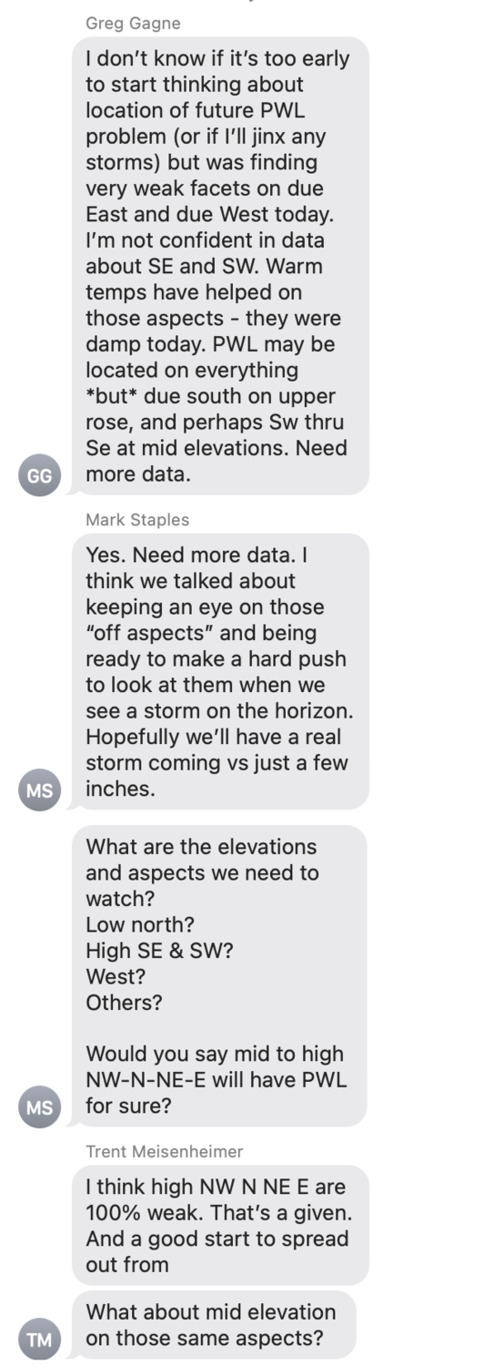
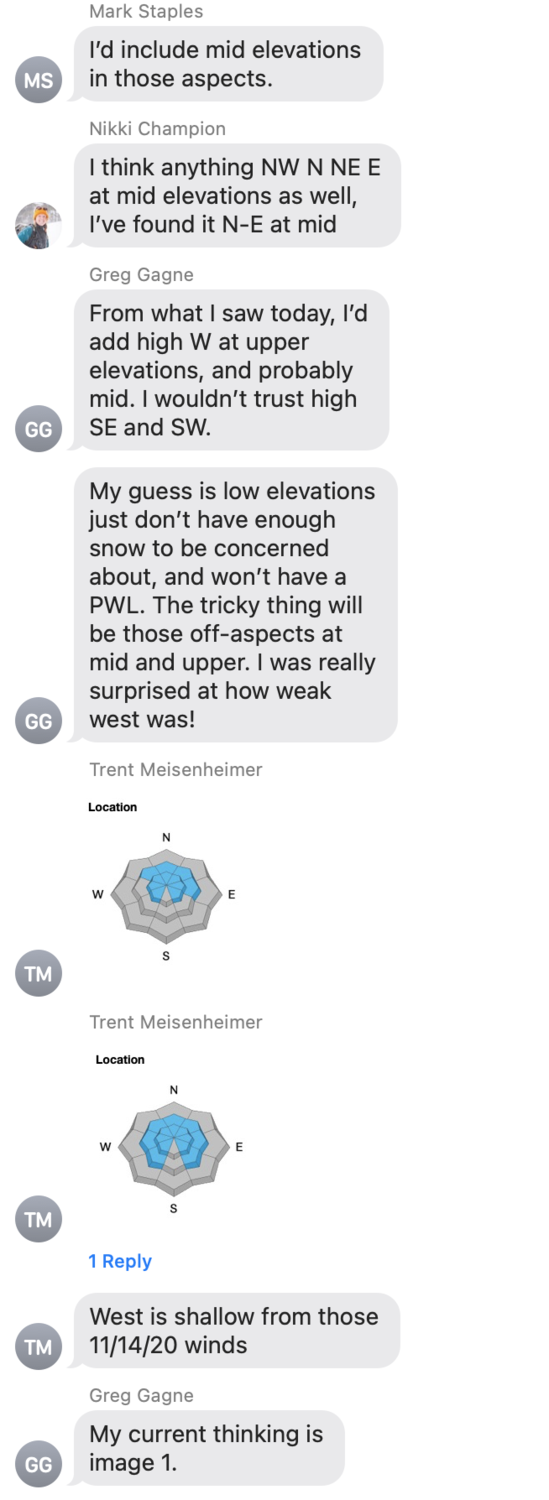
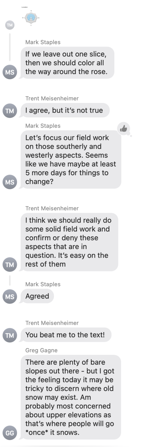
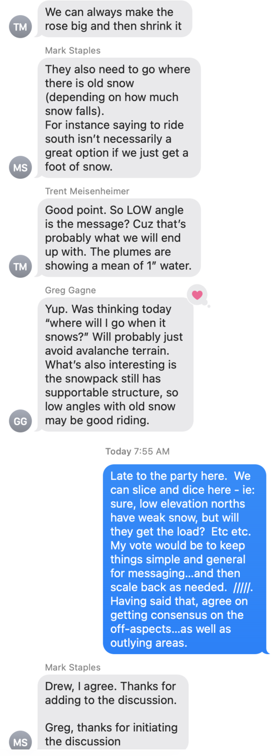
I wanted to share our text string from Saturday night (Dec 5th) among UAC forecasters in the SLC office: Mark Staples, Nikki Champion, Trent Meisenheimer, Greg Gagne, and Drew Hardesty. This is a good way to pull the curtain back and show what goes on behind the scenes. It's an example of the near continuous communication that we have regarding current and future conditions.
Also - this is why we value your observations: more data improves accuracy of our forecasts. So - for those of you that have been out and about and sending in observations - Thanks!
The Staff at the UAC


This is really interesting to read. It’s helpful to see your discussions to learn what goes into forecasting as I try to build up my own skills, particularly for venturing into areas outside of forecast zones, or even areas with fewer observations than are submitted in the Wasatch. Thank you so much for sharing and for all your hard work!
Michelle Tessier (not verified)
Tue, 12/8/2020
Thanks so much for posting this! Very helpful to see your all's thinking.
One question - in the three-day webinar series last month, there was talk about recording pictures of early season snowpack as a resource for understanding where a PWL may lie late into the season. I think Mark Staples' talk touched on this in part, and the Caltopo lady showed how to use their new satellite layer as a resource, too. Is that still relevant now or is that information less relevant, e.g. because the snowpack is more complex?
Frank P (not verified)
Wed, 12/9/2020


