


Observation Date
12/5/2020
Observer Name
Greg Gagne
Region
Salt Lake » Big Cottonwood Canyon
Location Name or Route
Upper Big Cottonwood / Park City ridgeline
Comments
Travel today was a long walk in upper Big Cottonwood along through Park City Ridgeline. No surprises where there is existing snow is weak and faceted, but I wanted to get a sense of the snow depths as well as the distribution of the upcoming persistent weak layer (PWL) avalanche problem we will deal with once it begins to snow.
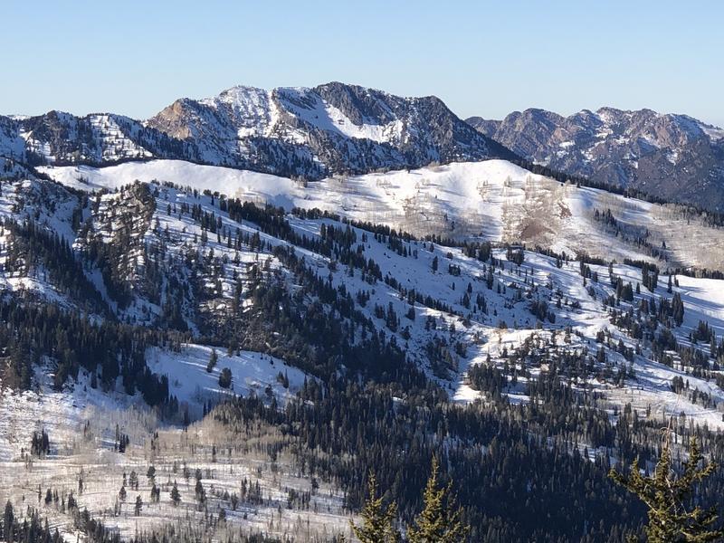
Above ~9000' was finding weak snow on east, north, and west aspects. Thermal crusts from warm weather in November are now hard to find as they have deteriorated due to faceting, and stout wind slabs from strong wind event on Nov 12 have gone from pencil hard to 4F. Very weak chained facets and depth hoar in thinner snowpack areas. 
I still don't have enough of a sense of the "off" aspects of SE and SW, but I think there is enough weak snow in places on these aspects in the upper elevations that I wouldn't trust them once they get a new load of snow.
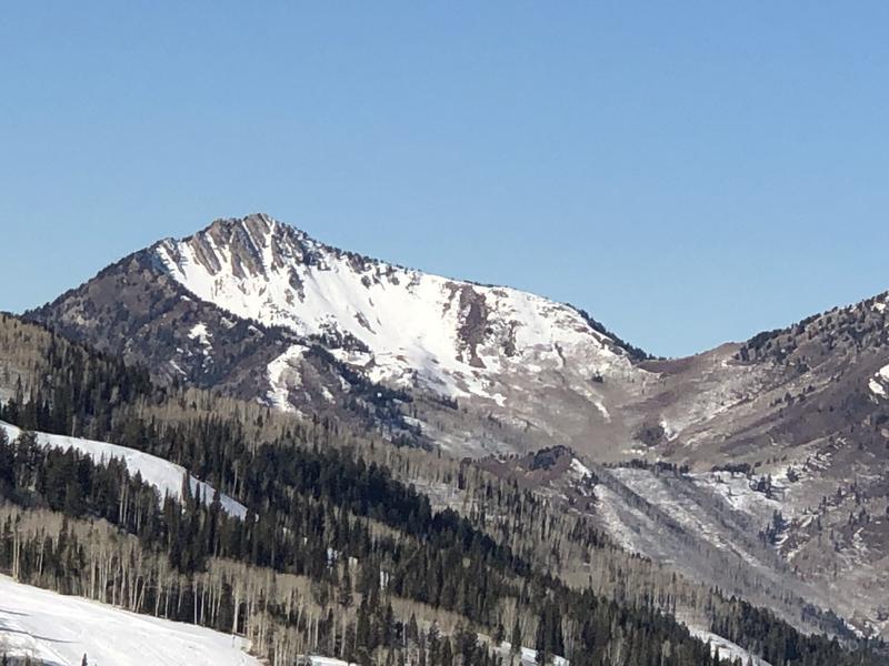
East-facing Meadow Chutes and East face of Mt. Raymond. Neither are good destinations once they receive a load of snow.
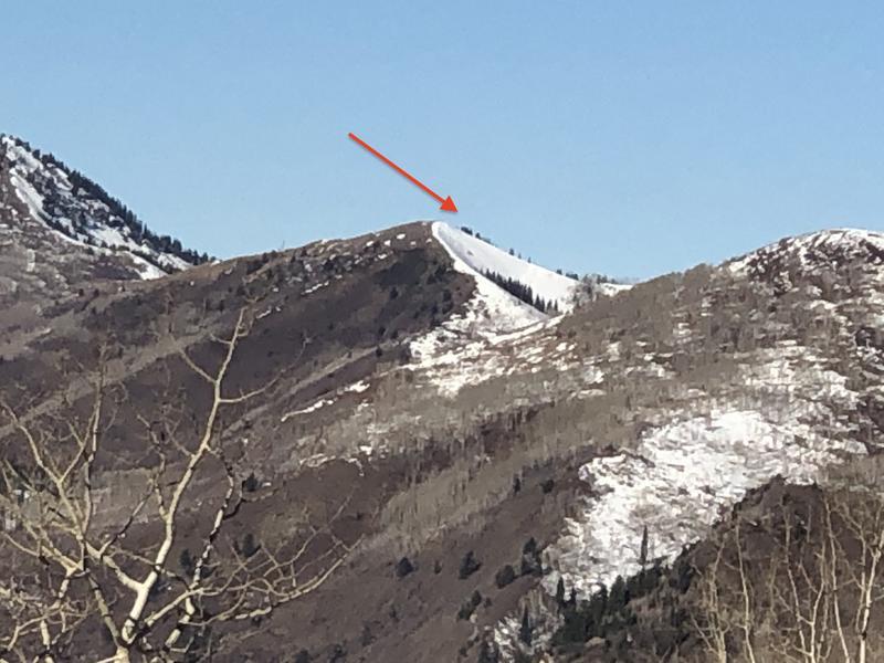
Little Water Peak showing weak snow on northerly aspects and little to no snow on southerly aspects. It is important to find slopes that are currently bare as they will not have a persistent weak layer once we do get additional snow.
Today's Observed Danger Rating
Low
Tomorrows Estimated Danger Rating
Low