

Observation Date
12/5/2020
Observer Name
Champion
Region
Salt Lake » Big Cottonwood Canyon » Cardiff Fork
Location Name or Route
Cardiff Fork
Comments
Feeling a bit like a broken record at this point, a lot of snow surfaces exist in the backcountry today. I wanted to head out to look at the coverage and snowpack on some lower-elevation terrain that was still holding snow while getting a look at the lingering coverage on South-facing terrain across Big Cottonwood. The snow surface appears to have gotten damp below 7800', as it did not possess as obvious of a loose-faceted upper layer of snow. Above 7800' about 10cm of loose faceted snow sat atop any old supportable layers. The best riding is still to be found in cold Northerly's that haven't seen any wind or sun.
Today the winds were light, and I did not observe any obvious signs of snow transport, but at upper-elevations, there were still obvious signs of wind drifted snow from last week's high wind event. Signs of scouring, wind drifts, and wind board do exist at upper-elevations.
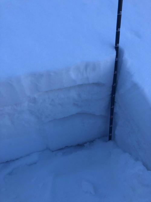
Overall, the main concern is the poor snowpack structure that exists almost everywhere that is still holding snow. Today on N-E facing terrain I found a pretty consistent snowpack structure that had 10cm of loose-faceted snow on top of 15cm of a weak melt-freeze crust interface (multiple layers of weak melt-freeze crusts, 1F hardness) with faceting snow to the ground below. While this snowpack structure is not a concern today, it will be a big concern when it migrates from being a surface snow condition to a persistent weak layer buried under the next storm system. I would be interested in taking these next few days of high pressure and trying to identify where snow is still existing before we put a sustainable load of snow on top of this weak snowpack structure.
As well, things are still thin - pay attention to the sharks out there. I did take my skis off at points on the downhill, so I would say tomorrow the primary danger that will continue to exist is the low-tide skiing conditions and making sure you safely get back to the car.
Photos of coverage and snowpack below.
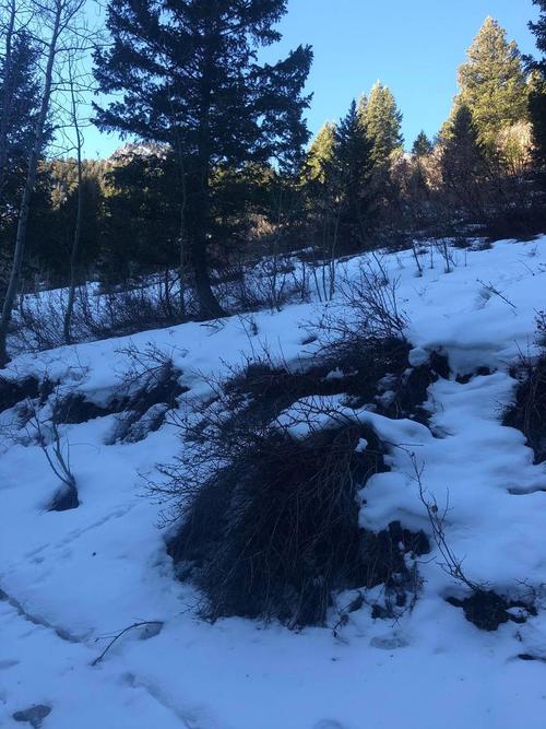
Low-tide skinning conditions - this was a point I had to briefly take my skis off and walk on the downhill.
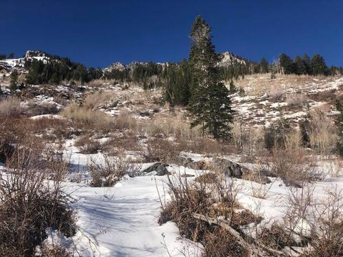
Cardiff Fork Snow depths
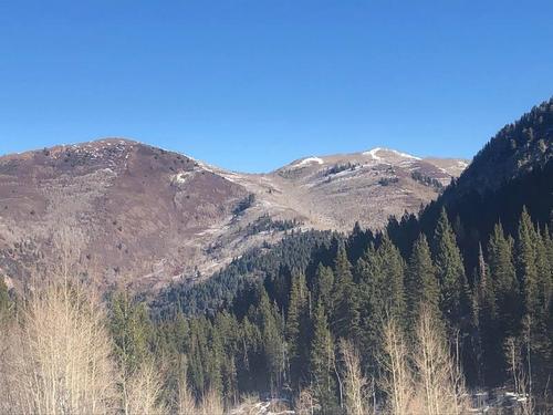
South-facing terrain losing snow across Big Cottonwood.
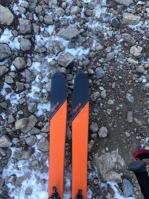
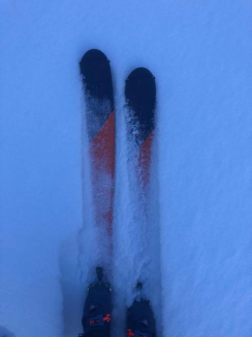
The consistent 10cm of loose faceted snow on the surface above 7800'
General Snowpack Structure i found today - NE Aspect - 9000'. 10 cm of fist hard loose faceted above 15cm of 1F hard melt-freeze crust interfaces above 1F- faceting snow to the ground.
Today's Observed Danger Rating
Low
Tomorrows Estimated Danger Rating
Low
Coordinates