Join us at our 2nd Annual Blizzard Ball

Forecast for the Salt Lake Area Mountains

Greg Gagne
Issued by Greg Gagne on
Friday morning, November 20, 2020
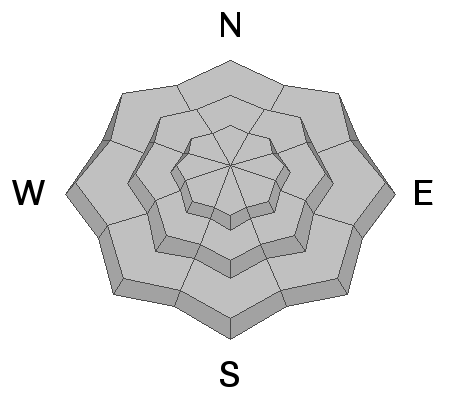
The avalanche danger is LOW and avalanches are unlikely. For today the biggest concerns are slide-for-life conditions on the solidly-frozen snow surface or triggering a small avalanche of wind-drifted snow in very isolated areas or extreme/steep terrain at the upper elevations. With shallow early-season conditions, getting caught in even a small avalanche or sliding on a frozen slope could have dire consequences with so many exposed hazards.
Low
Moderate
Considerable
High
Extreme
Learn how to read the forecast here
Special Announcements
SR 210 up Little Cottonwood Canyon is closed until 8 am as UDOT tests avalanche control devices.

Please do everything possible to avoid getting hurt for yourself and the greater good. As you decide where and how to travel in the backcountry, consider adding just a little extra margin of safety.

Announcement: Please visit this website with information about Responsible Winter Recreation by the Utah Office of Outdoor Recreation.

If you missed the 13th Annual Utah Snow and Avalanche Workshop, the recordings are available for purchase from the UAC Store.
Weather and Snow
Temperatures range throughout the 20's F and winds are westerly and light, gusting in the teens along upper-elevation ridgelines with benign gusts in the 20's mph at 11,000'.
For today, temperatures will remain in the 20's F. and winds will be westerly, gusting into the teens at the mid and upper elevations. Skies turning partly cloudy this afternoon with a chance of late-afternoon snow showers.
Tranquility will highlight the weekend with warm and clear weather. There is a decent chance of colder weather with small amounts of snow later Monday, and then again later this coming week.
Recent Avalanches
No new avalanches were reported from the backcountry yesterday.
Ad
Avalanche Problem #1
Normal Caution
Type
Location
Likelihood
Size
Description
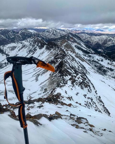
Pro observer Mark White summited Mount Superior on Thursday and reported the biggest hazard is the slide-for-life conditions that are present on all aspects. With temperatures remaining in the 20's F today, the stout/frozen snow surface is not likely to soften. If you are traveling into steeper terrain in the alpine regions, consider taking an ice axe or whippet. There remains an outside chance of finding a small pocket of wind-drifted snow on upper-elevation aspects facing north through east.
General Announcements
This information does not apply to developed ski areas or highways where avalanche control is normally done. This forecast is from the U.S.D.A. Forest Service, which is solely responsible for its content. This forecast describes general avalanche conditions and local variations always occur.