Observation: Salt Lake

Observation Date
11/15/2020
Observer Name
B
Region
Salt Lake
Location Name or Route
Upper BCC and Upper Snake Creek Canyon
Weather
Sky
Broken
Precipitation
Light Snowfall
Wind Direction
Southwest
Wind Speed
Light
Weather Comments
Temperatures warmed significantly with Broken Skies giving way to Overcast. Light SW Winds with sporadic Moderate Gusts, and little to no Wind Blown/Transport. Occasional S1 minus Snow Flurries.
Snow Characteristics
New Snow Depth
2"
New Snow Density
Medium
Snow Surface Conditions
Powder
Dense Loose
Wind Crust
Melt-Freeze Crust
Snow Characteristics Comments
Solar never became strong and or sustained enough to dampen the Southerlies. Wind effects ranged from stiff drifts to scouring and sastrugi. In some upper elevation Southerly areas the new snow that fell during the past 72 hours was stripped down to a 1 mm friable m/f crust that formed on Thursday. Moderately Dense Powder Riding was the best on the Northly Facing shots in Upper BCC; and it was surprising that there was not more wind damage in this area.
Red Flags
Red Flags
Recent Avalanches
Cracking
Poor Snowpack Structure
Red Flags Comments
Poor Snowpack Structure still being identified at latest Storm break (@ 15 cm down) with a CTM RP noted in a pit at 9600 feet, north facing. HS: 95 cm. Of note the .5 cm October snow at the ground has now formed into a friable m/f crust, and not moist. Also of note was a 1 mm friable m/f crust found on Southerly aspects; and directly below this crust was a very thin layer of very small facets. This structure may have played a part in the small natural observed (see photo) below a mid slope rock band on a SE aspect in the Dog Lake area.
Avalanche Problem #1
Problem
Wind Drifted Snow
Trend
Decreasing Danger
Problem #1 Comments
Stubborn/Unreactive Wind Slabs were observed with only one small pocket illustrating localized cracking.
Avalanche Problem #2
Problem #2 Comments
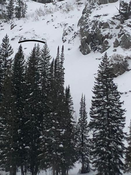
Slide for life potential observed in areas with Knife Hard Wind Slabs.
Mondays forecast for rapid warming and sunny skies most likely will help initiate a Loose Wet Avalanche Cycle on steep slopes on the lower half of the compass.
We appear to be in a "wait and see" period with a few unknowns: 1.) Various Upper Elevation Starting Zones had their thick snowpack reduced in the latest signficant Wind Event; and it will be interesting to identify the distribution on this issue. 2.) Monitoring the facet development below the aforementioned Southerlies. 3) How long will it be before our next accumulating snow?
Todays Danger appeared to be Moderate for isolated areas of Wind Slab in the Upper Elevations.
Today's Observed Danger Rating
Moderate
Tomorrows Estimated Danger Rating
Moderate
Coordinates