March Kicks Off Our Spring Campaign- Donate Now to Support Forecasting

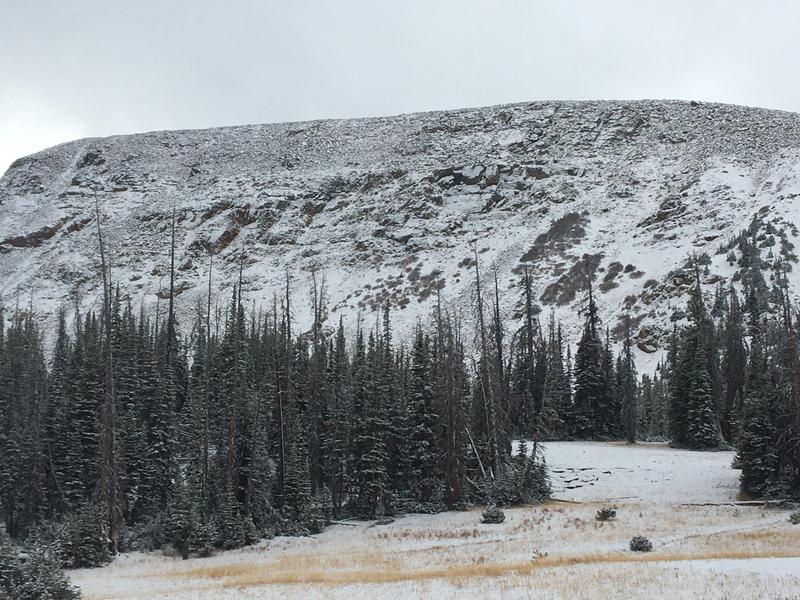
Forecast for the Uintas Area Mountains

Craig Gordon
Issued by Craig Gordon on
Thursday morning, November 12, 2020
I'll update this information as conditions warrant and the snowpack develops. Once we get rolling and winter gets going in earnest, you can expect detailed daily avalanche advisories updated by 7:00 AM.
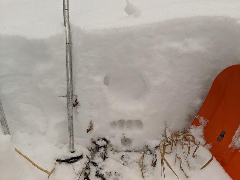
Your observations are import, so please let me know what you're seeing... click HERE and contribute to this amazing community based program
While we're waiting for the snow to fly, please join us virtually for the last installment of our 13th annual Utah Snow and Avalanche Workshop.
$10.00 gets you into tonights session.
I encourage you to click on the highlighted title below for more information and to register... what a deal... operators are standing by!
Open Session Day 3: Thursday, November 12, 2020; 6:30-9:00 PM Theme: We're All in This Together
Low
Moderate
Considerable
High
Extreme
Learn how to read the forecast here
Special Announcements
Huge thanks and a big shout out to two leaders in the industry... (nope I'm not talking about Mark and I :)
More importantly- for the past 15 seasons, Tri-City Performance and Polaris have provided loaner sleds to the UAC and this year was no different. This partnership enables us to perform our field days, get into the same kind of terrain and see the same type of snow our customers are riding, and continue delivering the high caliber forecasts you've come to expect from the Avalanche Center. Bottom line... this partnership helps save lives and for that we are grateful!
Weather and Snow
A nice shot of snow materialized yesterday, delivering up to 10" of ultra-light density snow in our high terrain. A break in the action is on tap for today with a more robust storm slated for Friday night through Saturday, producing significant accumulations along with strong winds.
Looking for real-time temps, snow, or wind?
Click here and then on the "western Uinta" tab for western Uinta specific, weather station network.
Recent Avalanches
No new avalanche activity to report. To view trip reports and recent avalanche activity, simply click here.
Ad
Avalanche Problem #1
Normal Caution
Type
Location
Likelihood
Size
Description
Ted got out before last weekends storm (upper image) and then again Tuesday (bottom image) for a little recon and grabbed these images near Bald Mountain Pass.
Meanwhile, Michael J. reported a "right-side-up" snowpack with good stability, though there were a few density variations in his pit pictured above.
While there's hardly enough snow yet to ride, I like to make a mental map of these slopes, because this illustrates the kind of terrain where early season snow can grow weak and sugary, with the potential to become dangerous once it's buried. We might forget about these early winter layers, but the snowpack has an amazing memory.
Additional Information
Information on outdoor recreation - The State of Utah created this webpage with information about recreating on both state and federal public lands during the current health crisis.

Skiing and riding at closed ski resorts - Some resorts allow access now, and some do not. Please check HERE for the latest info on ski area access.

New to the backcountry (including riding at closed resorts) - Watch the award-winning, 15 minute Know Before You Go video, or take the 5-part, free online-learning series.
General Announcements
If you see or trigger an avalanche or just wanna let me know what you're seeing you can reach me directly at 801-231-2170 or [email protected]
The information in this forecast is from the US Forest Service which is solely responsible for its content.