

Observer Name
LP/RC
Observation Date
Monday, April 27, 2020
Avalanche Date
Monday, April 27, 2020
Location Name or Route
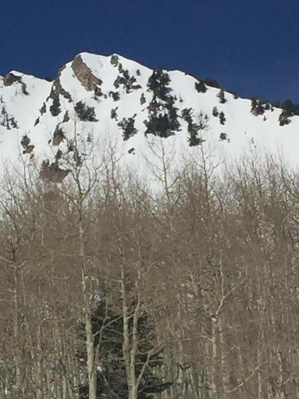
Mt Raymond East Face
Elevation
10,200'
Aspect
East
Trigger
Skier
Depth
2"
Width
20'
Comments
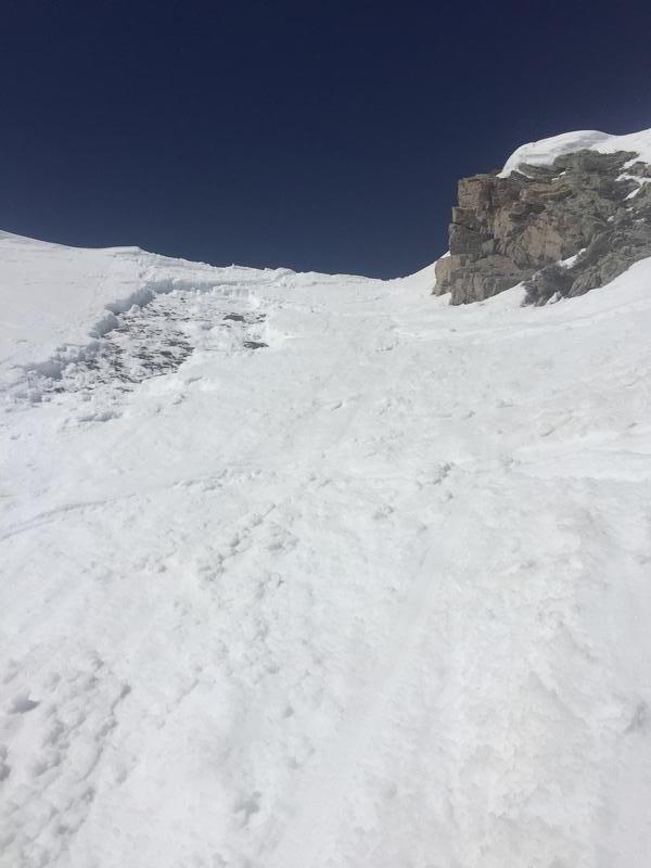
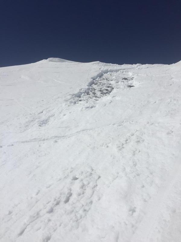
Second skier down the central shot of the east face of Raymond set of a wet slab exposing a section of rock about 20 by 40. Interestingly, it seemed like the slide don’t pick up any other snow as it ran down about 600 feet to the basin below. The slide didn’t deposit enough debris to bury a skier, however it ran hard and fast over a jagged cliff and downed tree and would’ve inevitably caused severe trauma to myself had it not broken under my feet, and carried me. I feel terrible for almost getting myself in this situation, when it’s the last thing our medical
system needs right now. Please learn from this! I am more comfortable skiing than walking basically, and when people suggested toning the terrain down do to this crisis, I didn’t think it applied to me. I was totally wrong.
This was an easy slide to avoid. My partner and myself have way too experience to ignore some
of the red flags we saw, or to allow ourselves to be swayed by human factors like we did. The chief red flag was simply the ambient air temperature being higher than expected. Although we made our summit time and were skiing by 0930 we didn’t adjust accordingly. We didn’t see any new sluffing or rollerballs, and this played greatly into our decision to ski this line. But we shouldn’t have used this to ignore how saturated the snow felt on our intended slope. The second red flag we ignored was the terrain. My partner and I both noticed that the starting zone to the skiers right was noticeably thin and potentially slabby. We decided to stick left and avoid that portion of the slope, however I was still able to affect it even after my partner had gone first and performed a ski cut.
The bottom line in my opinion is we haven’t gotten a deep enough refreeze the last couple nights to warrant skiing something this steep this east facing. Even at 10200 I believe this lack of refreeze played a huge role in the snowpack warming faster than I anticipated. I had been checking the overnight temps at the Alta guard station daily for the last two weeks however this morning I simply didn’t, and if I saw the numbers that I’m looking at right now I wouldn’t have even made this plan. Please use this as a warning to wait until we get colder temps again (hopefully) before going for the big steep line. The coming days and nights look warm! Please also use this as a lesson in human factors and heuristics. I have a few certifications and professional work experience in this field and I’ve been good in this regard for about five seasons now. One quick lapse almost got me seriously messed up.
Coordinates