Join us at our 2nd Annual Blizzard Ball

Forecast for the Salt Lake Area Mountains

Nikki Champion
Issued by Nikki Champion on
Wednesday morning, April 8, 2020
Today the avalanche danger will rise to MODERATE on all elevations and aspects. As the day heats up wet loose avalanches will become possible on all south, east, west-facing slopes, as well up low and mid-elevation north-facing slopes. On upper elevation, northerly facing slopes with dry snow, triggering a slab of wind drifted snow remains possible.
Avoid travel on or below large cornices as they tend to break farther back than expected.
Low
Moderate
Considerable
High
Extreme
Learn how to read the forecast here
Special Announcements
Spring Awareness Campaign - Help us save lives through avalanche forecasts and education. Consider making a donation before April 8th.
Uncertainty, Risk, & Decision Making: before, during, and after COVID-19 - Read this thought-provoking blog post about how we take risks by guest author Tom Diegel.
Weather and Snow
This morning, mountain temperatures range from the mid-20s to mid-30s F under mostly cloudy skies. Winds are westerly and lightly blowing 5-10 mph and gusting below 15 mph. At the highest elevations winds are gusting below 20 mph.
Today will be sunny and warm. Temperatures should climb into the mid-40s and low 50s F. Winds will switch from westerly to easterly and continue to be light, gusting up to 30 mph at the highest elevations.
Overnight clear skies and below freezing temperatures will have allowed for a generally good overnight refreeze, leaving a firm supportable snow surface at low and mid-elevations this morning. Some lingering dry snow may still be found at upper elevation slopes that have been previously protected from the sun and wind.
Recent Avalanches
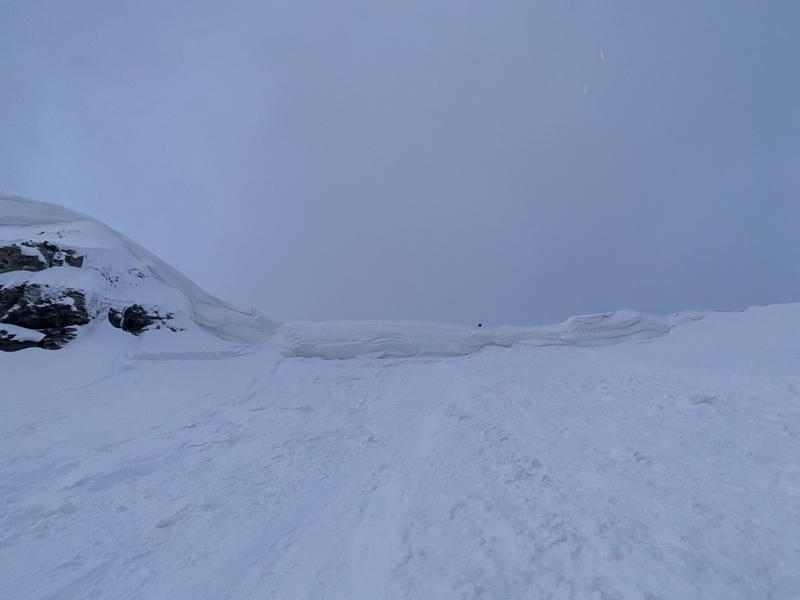
Cornices - Yesterday in Two Dogs of Days Fork at 10,200' on a Northeast Ridgeline, a skier triggered a cornice fall 3-5 feet from the edge. This cornice broke and carrier the skier and refrigerator-sized blocks to the flats below.
Photo of the skier triggered cornice in Two Dogs (Photo: Asay/Anderson)
Wet snow - Multiple signs of wet snow reported in the backcountry, including roller balls, pinwheels and easily triggered small wet-loose avalanches.
Find the full observation page HERE.
Ad
Avalanche Problem #1
Wet Snow
Type
Location
Likelihood
Size
Description
Today's strong sunshine and warm temperatures will cause the snow to get wet. This wet snow will produce small, loose wet avalanches. A few could be bigger if they entrain more snow as they roll downhill. The good news is that the snow is mostly frozen this morning, and had a good overnight refreeze last night.
Slopes with exposed cliffs and rock bands or gullies where the sunshine is concentrated will be the most likely places to see loose wet avalanches. The most dangerous locations will be in confined gullies this afternoon when these slides can happen on their own and hit you from above. Remember even small avalanches can be deadly in these confined areas, where the snow can pile up deeply.
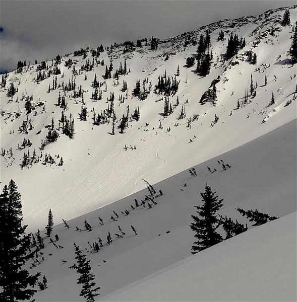
These types of avalanches are mostly predictable and start occurring as the snow gets increasingly wet from intense sunshine and warm air temperatures. Look for rollerballs and pinwheels rolling downhill and getting bigger as a sign that wet loose avalanches could start occurring.
The photo shows skier triggered rollerballs on the slope in White Pine (Photo: P. Diegel)
Avalanche Problem #2
Wind Drifted Snow
Type
Location
Likelihood
Size
Description
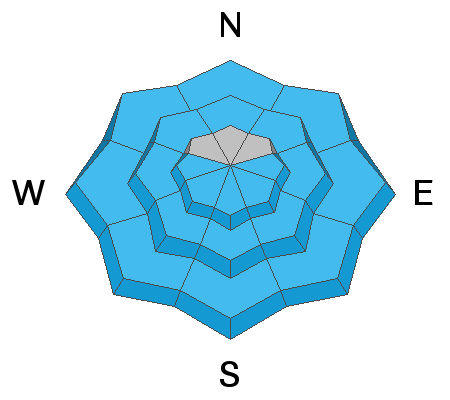
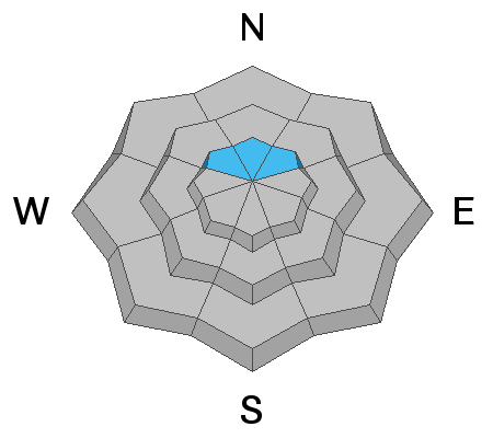
If you're looking for lingering dry snow, it mostly exists on upper elevation, north-facing slopes, BUT these slopes are ones where you may find soft slabs of wind drifted snow. Many of these wind slabs should have bonded and stabilized, but some may remain possible to trigger especially this morning while temperatures are still low.
Today the odds of triggering a wind slab are low, but I would continue to avoid riding them above rocks, cliffs, trees, or any terrain where the consequences of a small avalanche would be amplified.

CORNICES - Cornices in some places are massive. Yesterday there was one skier triggered cornice in the backcountry. These monsters are unpredictable especially during warm weather when they start bending downhill. Avoid being under or near the tops of large cornices as they break farther back than expected.
Additional Information
Information on outdoor recreation - The State of Utah created this webpage with information about recreating on both state and federal public lands during the current health crisis.

Skiing and riding at closed ski resorts - Some resorts allow access now, and some do not. Please check HERE for the latest info on ski area access.

New to the backcountry (including riding at closed resorts) - Watch the award-winning, 15 minute Know Before You Go video, or take the 5-part, free online-learning series.
General Announcements
This information does not apply to developed ski areas or highways where avalanche control is normally done. This forecast is from the U.S.D.A. Forest Service, which is solely responsible for its content. This forecast describes general avalanche conditions and local variations always occur.