Spring Awareness Campaign - Help us save lives through avalanche forecasts and education. Consider making a
donation before April 8th.
We are sad to share the news of two recent avalanche fatalities:
On Wednesday, Trace Carrillo died in an avalanche on Taylor Mountain near Teton Pass. Trace was formerly an intern with the UAC and more recently a wilderness ranger with the Forest Service.
Article here.
Preliminary report here.
On Friday, Rob Kincaid died in an avalanche just north of Palisades Reservoir near the ID/WY stateline. Rob was well known by many snowmobilers as an athlete for Arctic Cat and veteran of many snowmobile competitions.
Article here.
Preliminary report here.
More details should be available soon about these tragic events but initial reports are that both men were wearing avalanche transceivers that were not turned on.
January 5, 2019 - Read this
collection of 6 stories and a podcast about that day with a low avalanche danger, 8 skier-triggered avalanches, four catch and carries, a partial and critical burial, and a trip to the emergency room.
Currently-
Storminess spins to the south of the Uinta zone and of course that gives us high clouds, an inch of new snow, temperatures in the mid and upper 20's, and... wind! I knew you'd be stoked for that!
Southwest winds began blowing in the 30's early Sunday and continued ramping up throughout the day, blowing 40-60 mph along the high peaks. Warm temperatures and nuking winds have taken their toll on riding and turning conditions and soft snow is in limited supply. However, supportable snow surfaces transform into creamy corn-like goodness on sunny slopes as the day progresses.
24 hour data dump from Lofty Lake Peak (11,186')
More Uinta weather network info is found here. Simply click on the Western Uinta tab.
For today-
Not many changes in the weather department. Expect mostly cloudy skies, an occasional snow shower or two, and high temperatures climbing into the upper 30's. Southerly winds blow in the 40's and 50's along the ridges.
Futurecast-
Winds finally relax Tuesday and high pressure builds. The second half of the week looks beautiful.
SEE THE PATTERN?
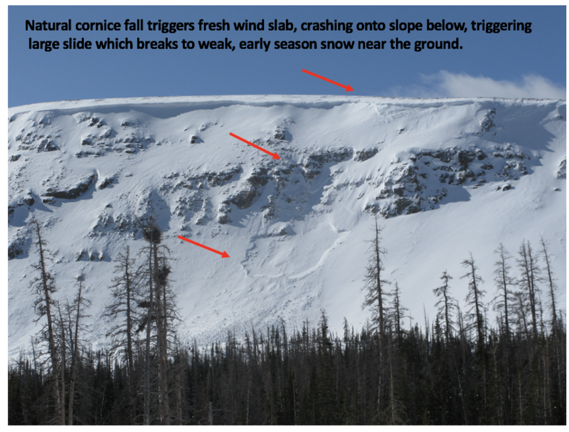
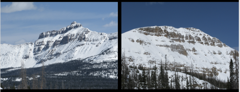
Tough to identify, particularly when it's all white, but common theme is... repeater avalanche terrain. Steep, rocky slopes, especially those facing the north half fo the compass, that avalanched near the ground earlier this season and have remained thin and weak all season.
Wednesday natural avalanche in Murdock Bowl near Bald Mountain Pass. Breaking 3' deep and 200' wide, this slide would instantly ruin your day.
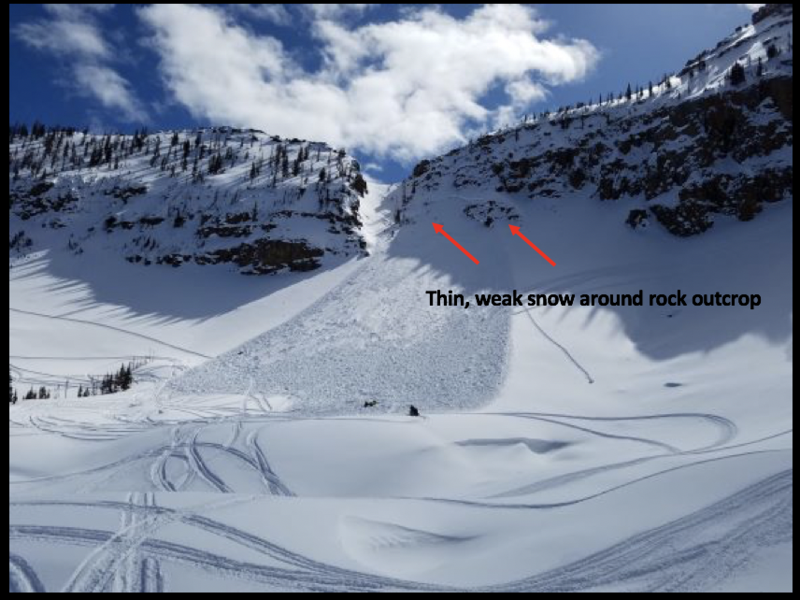
Friday human triggered avalanche on Notch Mountain-
Breaking 3' deep and a football field wide, the avalanche in the image above was triggered yesterday on the steep, heavily wind loaded, northwest facing bowl of Notch Mountain. As noted by the rider.... "I was the third snowmobiler to climb the mountain and I triggered the slide. Avalanche airbag kept my head above the snow." More details found here.
To view additional trip reports and recent avalanche activity, simply click
here.