


Observation Date
4/3/2020
Observer Name
mark white
Region
Salt Lake » Park City Ridgeline
Location Name or Route
Monitors
Comments
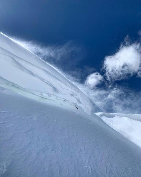
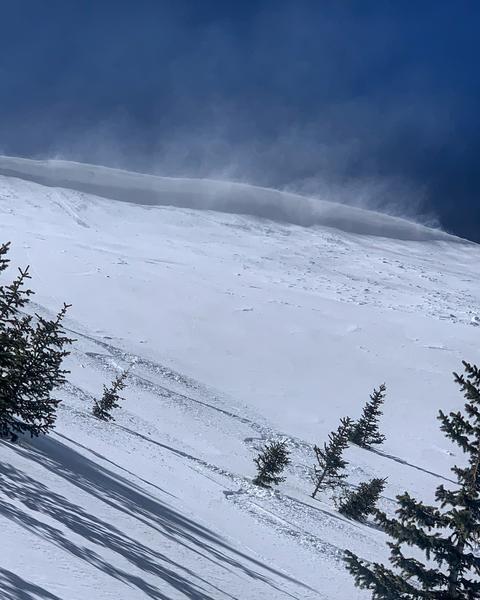
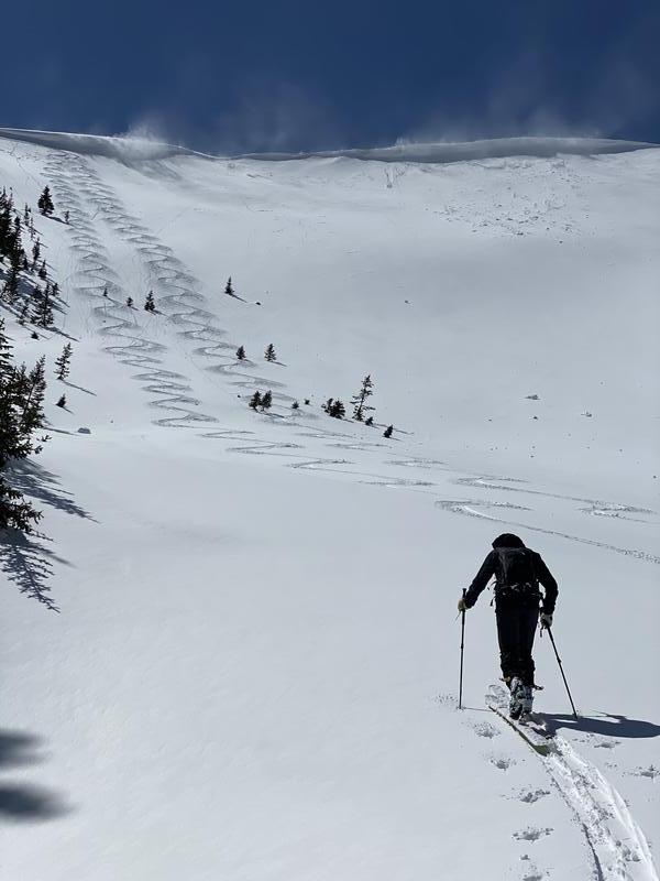
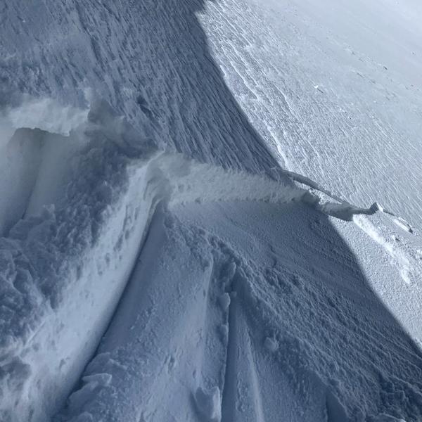
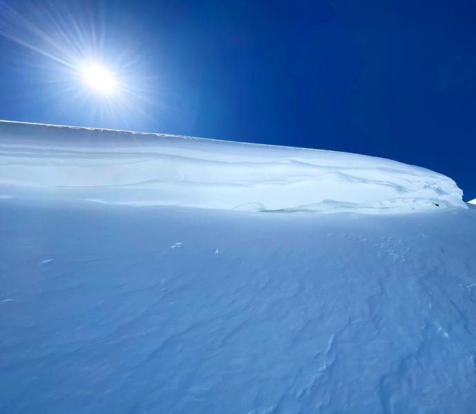
Took a trip to the Monitors via USA Bowl, there was an inch down low increasing to about 4 in S Monitor Bowl. The main activity of note today was wind transport, and shallow wind slabs along the ridge line. There was quite a bit of wind in the afternoon loading snow into the top of the Monitors but with a limited amount of snow for transport from the S facing the wind slabs were shallow and not runny no very far. That being said in higher elevation more complex terrain it could pose a problem, cross loading on steeper slopes is not out of the question and taking even a short ride in radical terrain could result in injury, which is not cool at this point in time. Cornices are about as big as they've been all year and should be given respect when approached.
photos: wind transport on the ridge line, shallow soft slabs, cornice formation.
Today's Observed Danger Rating
Low
Tomorrows Estimated Danger Rating
Moderate