Join us at our 2nd Annual Blizzard Ball

Forecast for the Salt Lake Area Mountains

Greg Gagne
Issued by Greg Gagne on
Friday morning, April 3, 2020
The avalanche danger is Low and normal caution is advised. Watch for (1) wet snow avalanche activity on aspects facing east, through south, and west as the snow surface warms today, and (2) isolated pockets of wind-drifted snow in exposed, upper-elevation terrain.

Pay attention to changing springtime conditions and evaluate terrain carefully.
Low
Moderate
Considerable
High
Extreme
Learn how to read the forecast here
Special Announcements
Grizzly Gulch Parking will be restricted to residents and homeowners only for April 4th and 5th to promote social distancing on busy days. Recreation visitors can access the trailhead but will need to park in the Albion parking Lot, the Wildcat parking lot, or along SR-210.

Spring Awareness Campaign - Help us save lives through avalanche forecasts and education. Consider making a donation before April 8th.

Information on outdoor recreation - The State of Utah created this webpage with information about recreating on both state and federal public lands during the current health crisis.

January 5, 2019 - Read this collection of 6 stories and a podcast about that day with a low avalanche danger, 8 skier-triggered avalanches, four catch and carries, a partial and critical burial, and a trip to the emergency room.
Weather and Snow
Currently: This morning feels more like January 3rd than April 3rd, with temperatures in the single digits. Westerly winds - which have been moderate to strong over the past few days - are now very light, less than 10 mph. The skies are clear.
Today will be sunny with continued light winds out of the south and west, with gusts in the teens. Temperatures will rise into the mid 20's through low 30's F.
Note on April precipitation at Alta Guard from Mark Saurer at UDOT:
March totals are 48" of snow with 3.96" of water (March average is 87" of snow with 7.95" of water).
The year to date total is 391" of snow with 39.92" of water. (Average year to date totals through March is 416" of snow with 38.38" of water).
We need 91" of snow in April to bring us up to our average annual snowfall (Snow total average for April is 66").
Recent Avalanches
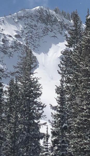
The only avalanche reported from Thursday was a small wind pocket in the Brighton Back Bowls on a northeast aspect at 10,300' (observation).
You can read all recent observations - including avalanches - here.
Ad
Avalanche Problem #1
Normal Caution
Type
Location
Likelihood
Size
Description
The overall avalanche danger is Low, with two concerns for today:
1. Wet Snow - You can expect some minor wet loose avalanche activity today on aspects facing east, through south, and west, as the strong April sun affects the snow surface. With the old snow surface solidly frozen and only a few inches of drier snow from Wednesday to work with, any wet activity should be small. However, in certain terrain (such as steep-sided gullies) the wet snow could be large enough to carry and/or partially bury you. Consider the consequences of your terrain if you find yourself on a solar aspect today.
2. Wind Drifted Snow - Several days of moderate to strong winds have created isolated pockets of wind-drifted snow at the upper elevations. Although these drifts can be found on all aspects, you are most likely to find them on slopes facing north through east. Any drifts you encounter are likely to be shallow (< 6"), but with a slick surface underneath, any avalanches may run fast and far in steep terrain.

Pay attention to cornices: Many ridgelines now have overhanging cornices, and Tuesday there were a few reports of cornice triggered wind slabs. A few days of strong winds at the uppermost ridgelines have made cornices even larger. Be sure to give cornices a wide berth as they typically break much further back than expected.
Additional Information
Skiing and riding at closed ski resorts - Some resorts allow access now, and some do not. Please check HERE for the latest info on ski area access.
New to the backcountry (including riding at closed resorts) - Watch the award-winning, 15 minute Know Before You Go video, or take the 5-part, free online-learning series.
General Announcements
This information does not apply to developed ski areas or highways where avalanche control is normally done. This forecast is from the U.S.D.A. Forest Service, which is solely responsible for its content. This forecast describes general avalanche conditions and local variations always occur.