


Observation Date
3/25/2020
Observer Name
Michael Janulaitis
Region
Uintas
Location Name or Route
Western Uintas
Comments
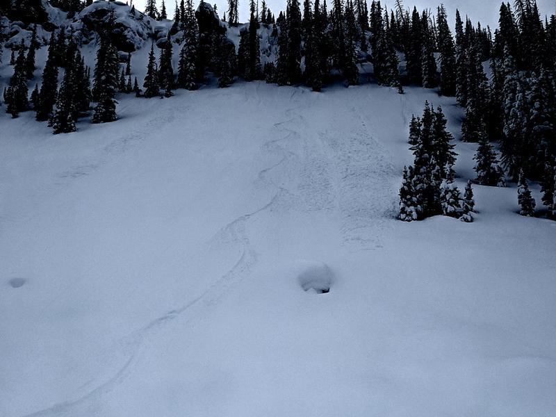
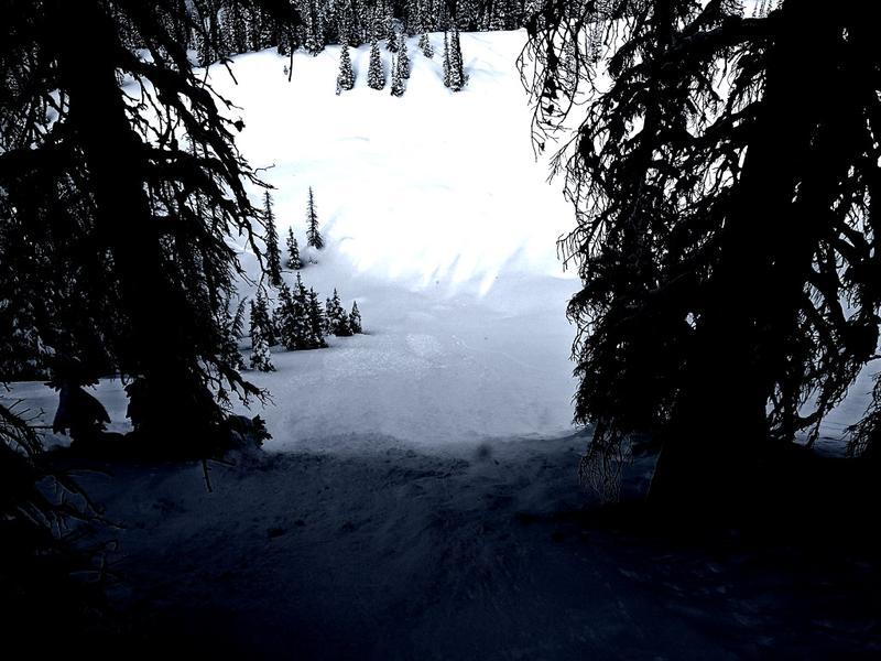
I found 14 inches of right side up medium density snow with some light on top above 9500 ft. The new snow is bonding well on the north side of the compass. There is cohesion within the bottom half of the new snow but there is too much friction between the new snow/old snow interface for anything to move. There was a light wind out of the south transporting a manageable amount of snow. I saw these two natural harmless sluffs in steep north facing wind protected terrain. Down low it's another story. On my way back out the powder from early afternoon turned to wet mank below 8000 ft.
Today's Observed Danger Rating
Moderate
Tomorrows Estimated Danger Rating
Moderate