UDOT PLANNED AVALANCHE CLOSURES!!

Observation: Timpanogos

Observation Date
3/22/2020
Observer Name
Grainger x2, Keeve
Location Name or Route
North Timpanogos
Weather
Sky
Overcast
Wind Direction
West
Wind Speed
Light
Weather Comments
Intermittent 10,500' cloud layer, short windows of clearing. Light Westerly winds had had minimal effect on the storm snow, a small amount of texturing along exposed ridgetops.
Snow Characteristics
New Snow Depth
7"
New Snow Density
Medium
Snow Surface Conditions
Powder
Melt-Freeze Crust
Damp
Snow Characteristics Comments
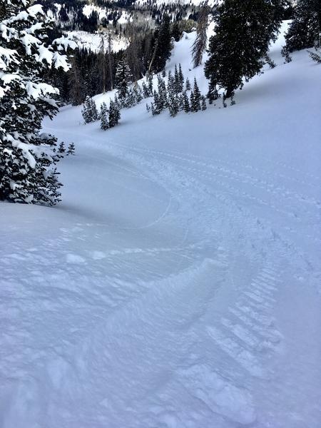
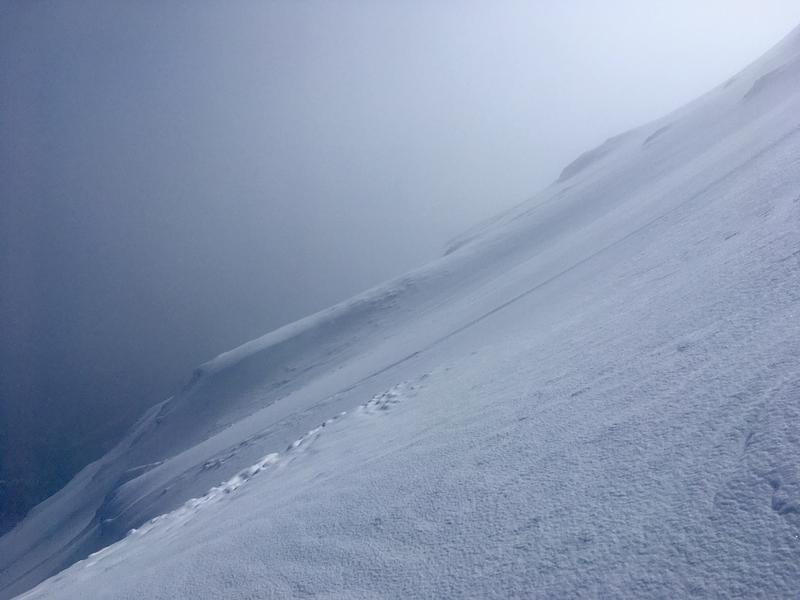
Above ~8500' north-facing terrain with pitch was settled, soft powder with a thin layer of 1-2mm graupel. Minimal winds throughout the storm have prevented wind-slab hazard but along 11,000' ridges we observed isolated wind slabs and small debris piles. Sluffs were only running in the upper 2-3" on northerly faces and down to the M/F crust layer on many southerlies.
On lower elevations, solar aspects and low slope angles snow had Friday and Saturday's zipper-to-death-cookie M/F crust and the sun was continuing to work. Numerous wet-loose pieces were visible from Friday-Sunday even on N-facing below 9000'. This crust may cause the next interface issues depending on the initial storm dynamics Tuesday evening.
Red Flags
Red Flags
Rapid Warming
Comments
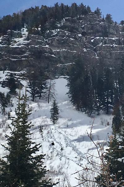
1- Not great perspective but great light, small piles from wind-affected storm snow 11K ridgetop (lee).
2- Wet-loose activity initiating North-facing at 8800'.
3- Minimal sluff entrainment on steep Northerlies.
Today's Observed Danger Rating
Low
Tomorrows Estimated Danger Rating
Low
Coordinates