Observation: Moab

Observation Date
3/11/2020
Observer Name
Garcia/Kennard
Region
Moab
Location Name or Route
Gold Basin/Lone Pine
Weather
Sky
Overcast
Precipitation
Light Snowfall
Wind Direction
Southeast
Wind Speed
Light
Weather Comments
While driving up the rain/snow line was just below Squaw Springs TH. That line moved up in elevation as the day warmed up, we had rain at the truck at the end of the day. Seems like it rained on the shortcut at some point during the day because the snow was VERY slow and wet. S1 snowfall at the TH in the morning quickly tapered off to no precip. Skies remained overcast.
Snow Characteristics
New Snow Depth
6"
New Snow Density
High
Snow Surface Conditions
Powder
Damp
Snow Characteristics Comments
It was a pacific northwest powder day today. 6+ inches of new snow in upper Gold Basin. The snow stake at 10,000 was showing 2.5 inches. Snow up high was dense, but it was really fun skiing. Supportable and creamy. Wax your boards, surfs up!
Red Flags
Red Flags
Cracking
Poor Snowpack Structure
Red Flags Comments
We continue to have poor snowpack structure in shady areas at and below tree line. Skiing the Lone Pine area today was an excellent illustration of how varied and weak the snow is below the surface. When skinning in the trees by Lone Pine, we found areas of very weak snow with large facets. Today we also had isolated cracking beneath our skis.
Avalanche Problem #1
Problem
New Snow
Trend
Same
Problem #1 Comments
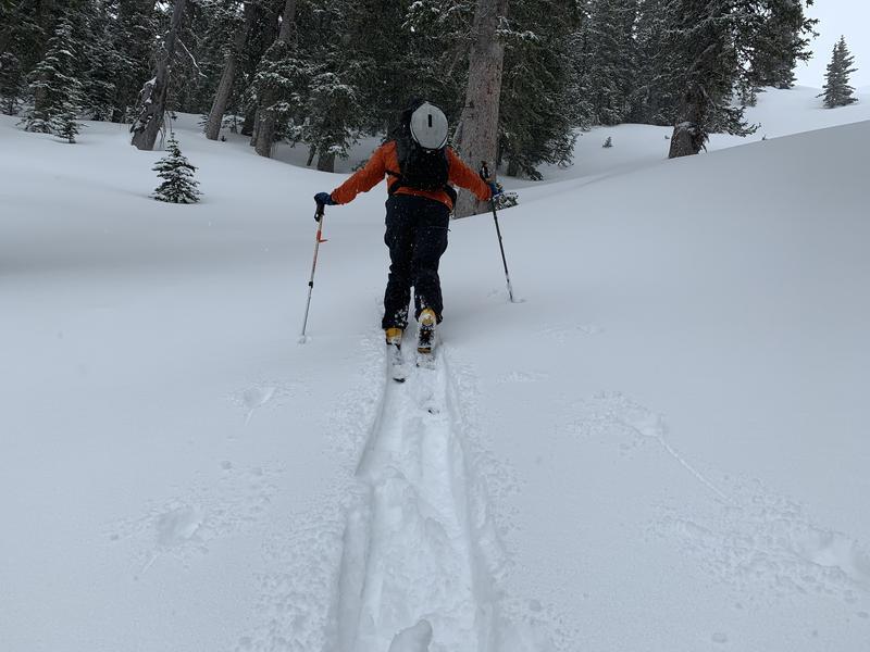
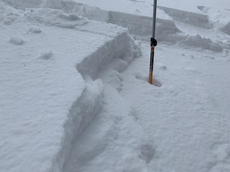
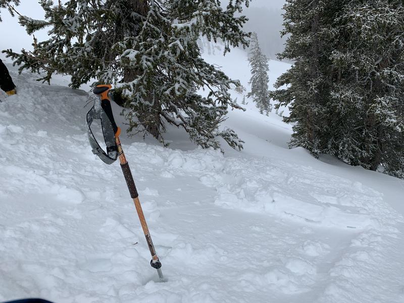
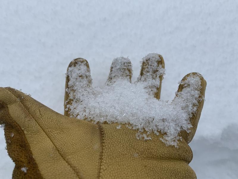
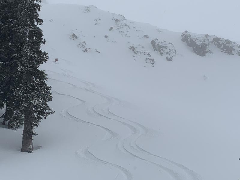
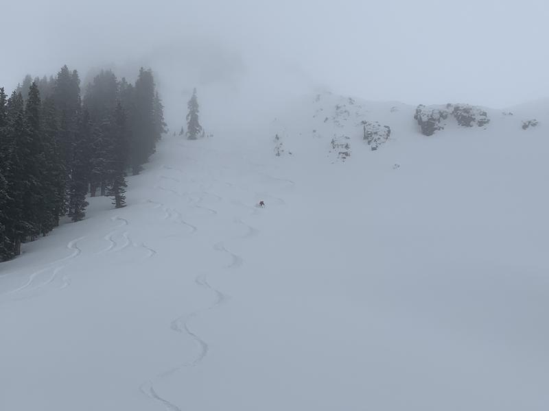
The new snow came in dense and wet, and makes good slab material. It is bonding well to the old snow surface in some places, and not so well in others. The old snow surface is quite varied. In some places beneath the new snow there is a pencil hard crust underneath. The new snow is not well bonded to this crust and you can get easy hand shears. Reed kicked off a very small storm slab that slid on this slick crust (photo below). You will find the new snow sitting on a hard crust in places that are out the trees and exposed to wind and sun. In other places the new snow is well bonded to the old, especially where the crust is absent. However if you lack the crust, you will most likely find large grained facets underneath. You will find this structure on shady slopes. We found all of these conditions adjacent to Lone Pine. A mixed bag of conditions in a relatively small zone. This leads me to expect a wide variety of conditions on a range wide scale. Shallow storm slabs could be a problem tomorrow. The new snow could slab up a bit more, especially with continued warm temperatures and high humidity. As far as the buried facets are concerned, I don't think we have added quite enough weight for them to fail and cause avalanches. If we pick up another inch of water on Friday these could become active again.
Photo 1: Ski penetration in the skin track. Photo 2+3: A small storm slab running on a slick crust. Photo 4: Large grained (2-3mm) facets beneath the new snow. Photo 5+6: Reed enjoying some March pow.
Today's Observed Danger Rating
Low
Tomorrows Estimated Danger Rating
Low
Coordinates