Observation: Park City Ridgeline

Observation Date
2/21/2020
Observer Name
Champion
Region
Salt Lake » Park City Ridgeline
Location Name or Route
Desolation Lake - Square Top - Sheep Shit Ridge
Weather
Sky
Few
Wind Direction
West
Wind Speed
Light
Weather Comments
Primarily clear skies throughout the tour, a few high clouds built in the afternoon. The winds remained primarily calm, but in the afternoon they began to pick up with a few stronger gusts. There was a little snow drifting across the surface at upper ridgelines, but no real widespread signs of snow being transported. Temperatures were warm throughout the day and seemed to hover right around freezing where I was touring.
Snow Characteristics
Snow Surface Conditions
Faceted Loose
Melt-Freeze Crust
Damp
Snow Characteristics Comments
The snow surfaces varied greatly depending on what aspect I was on. Any solar aspects have been heavily impacted by the last few days of sun, and steep south and west-facing terrain currently possess a thin solar crust. South-facing terrain that is less steep was damp today, but I didn't see any signs of point releases. The snow surfaces that have not been exposed to the sun are still soft. The cold night temperatures have to lead the snow surface to weaken and remain loose on the north-facing aspects. Yesterday, on steep north-facing terrain it was easy to get shallow sluffs of weak snow. I think that the warmer temperatures and tomorrow could help this surface snow.
Comments
Overall low hazard on a beautiful day today. Still, some lingering signs of wind drifted snow, but today I was unable to get any results in stability tests. Across the board, when I was doing hand-pits the solar crust on solar aspects was not shearing separately to the 30cm below it, nothing was pulling off clean. On the northern and eastern aspects, there was only soft noncohesive snow on top of the February 7th solar crust.
Looking down the road, I would be concerned about the crust on southern aspects becoming a bed surface and the weakening surface snow on northern aspects becoming a weak layer. I would continue to monitor the surface snow and how the crust develops over the next few days, and if it becomes supportable.
Photo of the solar crust on the southern surfaces
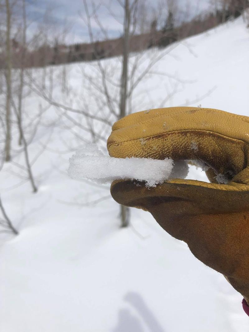
Photo of evidence of winds at upper ridgelines
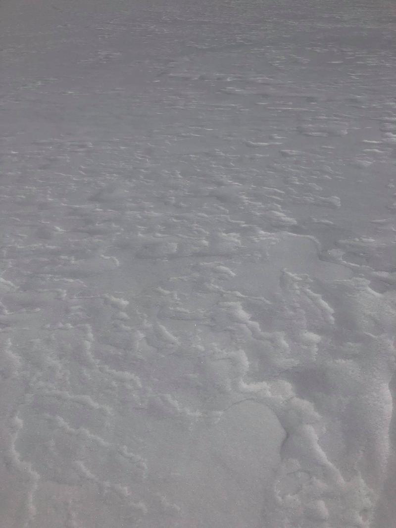
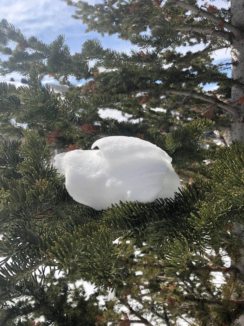
Photo of melting snow in trees on south aspects
Today's Observed Danger Rating
Low
Tomorrows Estimated Danger Rating
Low