March Kicks Off Our Spring Campaign- Donate Now to Support Forecasting

Observation: Uintas

Observation Date
2/15/2020
Observer Name
Ted Scroggin
Region
Uintas
Location Name or Route
Gold Hill/ Moffit Peak
Weather
Sky
Obscured
Wind Direction
West
Wind Speed
Moderate
Weather Comments
Mostly cloudy this morning with some brief light snow flurries then a period of broken skies with some sunshine before clouds and light snow moved back in. The winds were quite gusty on the ridge tops and then starting to get down into lower terrain.
Snow Characteristics
Snow Surface Conditions
Dense Loose
Wind Crust
Rain-Rime Crust
Snow Characteristics Comments
Up in the wind zone was hard slabby snow, some heat crusts on the sunny aspects, hard frozen old tracks in open areas, but quite nice dense settled powder out of the wind.
Red Flags
Red Flags
Wind Loading
Cracking
Poor Snowpack Structure
Red Flags Comments
The winds were really ramping up today ahead of the storm, mainly form a west direction and what loose snow there is to blow around was drifting into shallow wind slabs that would crack. Noticed some old avalanche debris on the east side of Moffit Peak, likely human triggered in steep rocky and likely weak shallow snow. Good info that there are still places where the snow pack structure is still somewhat thin and weak and slides can be triggered in these areas.
Avalanche Problem #1
Problem
Wind Drifted Snow
Trend
Increasing Danger
Problem #1 Comments
Winds from a mostly westerly direction were on the increase today and blowing snow onto the leeward slopes creating wind slabs. The recent human triggered slide on a northeast facing slope on Moffit Peak was a great indication of how some of these wind slabs can get a little bigger and deeper given the right terrain.
Avalanche Problem #2
Problem
Persistent Weak Layer
Trend
Same
Problem #2 Comments
Keep thinking the persistent weak snow problem is a thing of the past, but given the small, although older slide on Moffit Peak that looked to be sled triggered, this problem is still present.
Comments
Not sure the time frame on this slide, but is some great information that there are still places that have a weak snow pack structure and once a person finds the weak spot on the slope avalanches can be triggered.
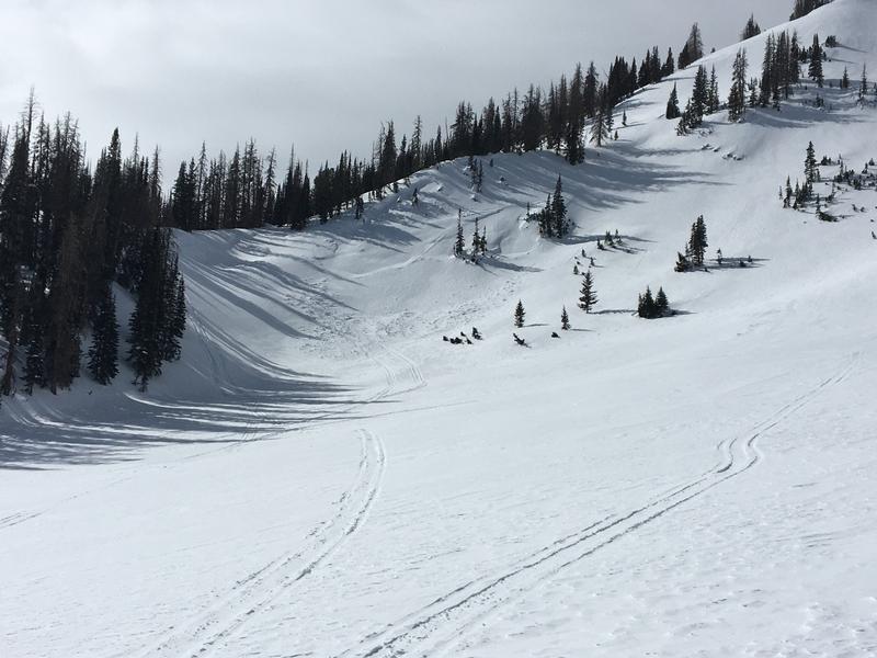
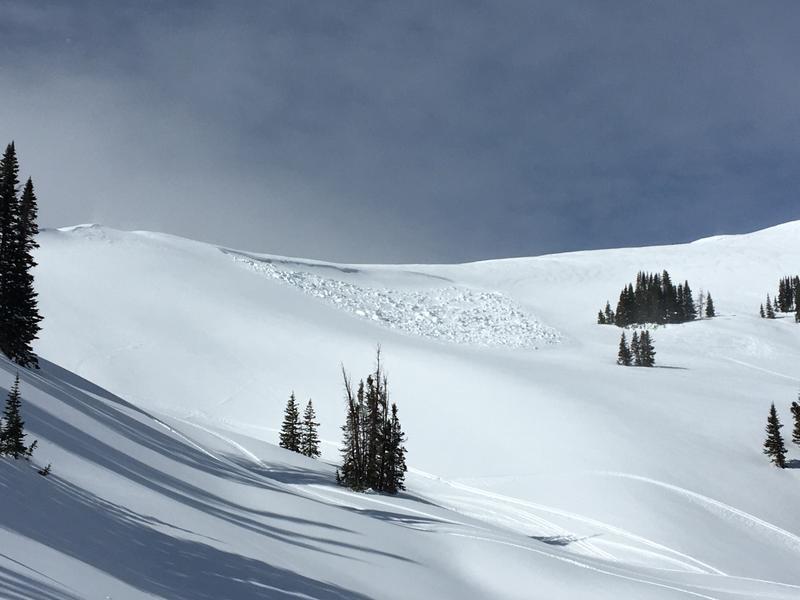
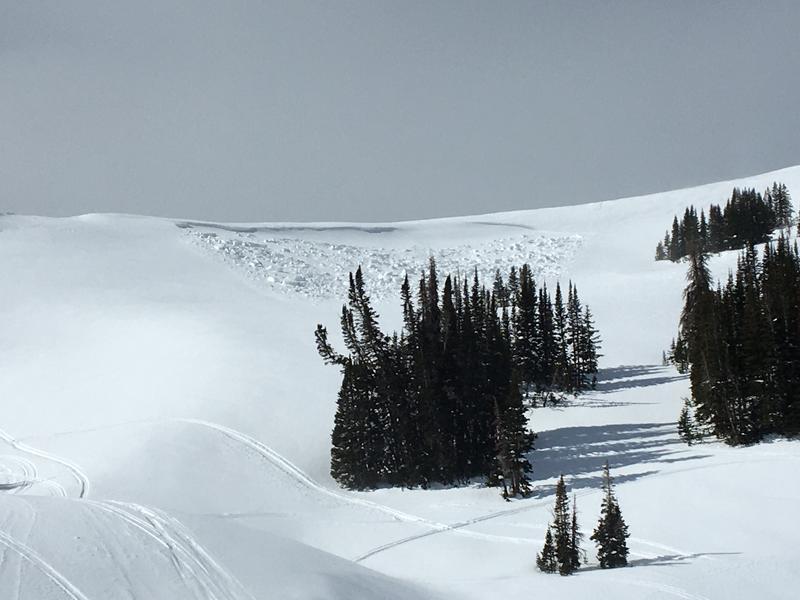
Spotted this slide from the top of Gold Hill today and thought it might be good to take a look. This northeast facing slope gets heavily wind loaded with south and west winds and it looks like it was human triggered based on skier and sled tracks on the ridge. I was a little surprised to see how wide and connected it was roughly 200' wide, 2-3' deep and it did not travel far as the slope angle becomes less. Thinking maybe some low density or preserved faceted snow that was the old snow surface was buried by heavy wind drifted snow and a person was able to trigger it from a shallow spot off the ridge line.
The hazard could quickly rise from moderate to considerable with strong winds and heavy wet snow forecasted.
Today's Observed Danger Rating
Low
Tomorrows Estimated Danger Rating
Moderate
Coordinates