


Observation Date
2/7/2020
Observer Name
mark white
Region
Salt Lake » Park City Ridgeline » Monitors
Location Name or Route
Monitors
Comments
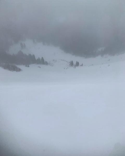
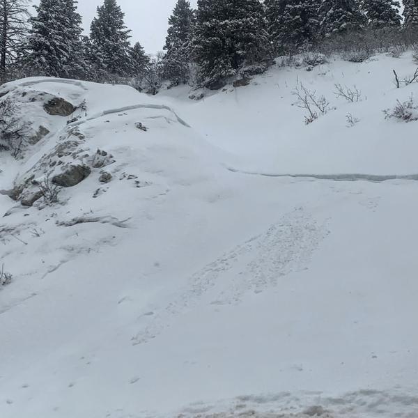
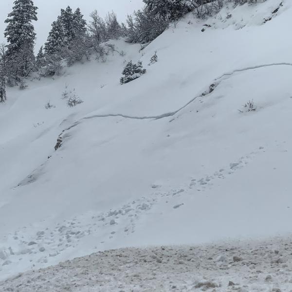
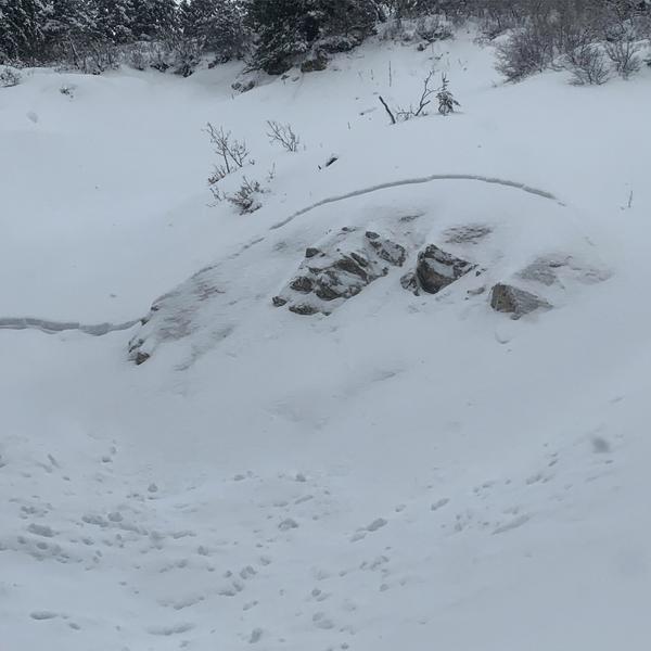
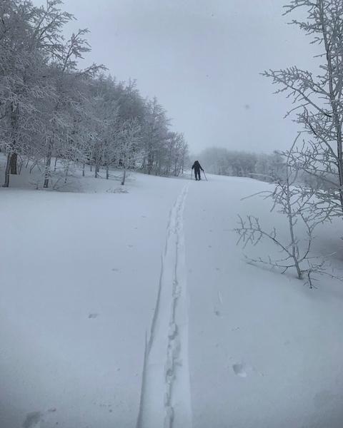
Wanted to get a look into the Monitors to see how the new dense snow was behaving. Unlike yesterday the activity wasn't in your face but there was still localized cracking and collapsing on the S facing on our ascent. Visibility was hard to come by in the Monitors due to heavy snowfall, strong winds and obscured skies but we did get a glimpse into both bowls. We didn't see any signs of large avalanches but that being said they could have avalanched a couple hours befor we got there and would have never noticed due to the wind loading, and heavy snowfall, filling things back in rapidly. Got a fairly good look into S Monitor and noted large wind drifts scattered all over the main bowl. The snow had based up quite a bit on the S facing in Willow which led to surfy and fast turning. The upper ridge lines had been stripped down to bushes and dirt on the S facing in both USA Bowl and upper Willow.
photos: a foggy view into S Monitor, recent avalanches on road cuts mid canyon and rimming in the aspens near the top of W Monitor
With all that's going on and more snow and wind in the forecast it's hard to go with any rating but high.
Today's Observed Danger Rating
High
Tomorrows Estimated Danger Rating
High