


Observation Date
1/26/2020
Observer Name
Wilson, Trenbeath, Hardesty, O'Connor
Region
Salt Lake » Little Cottonwood Canyon » White Pine
Location Name or Route
Red Baldy, White Baldy
Comments
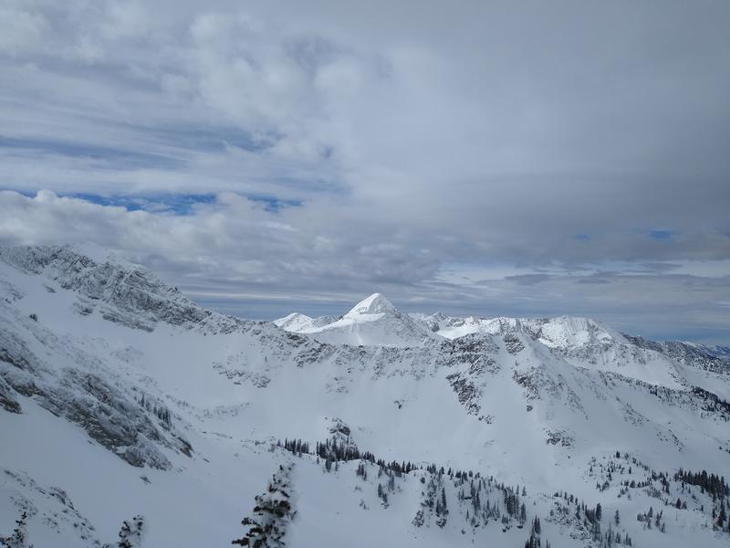
Toured Red Baldy and White Baldy, mainly NW through NE terrain from 7,600' to 11,000.
Winds generally light, but enough to transport snow and fill-in tracks on some aspects. In a few locations the thin wind-affected snow could be kicked loose to skitter down beside the skier. Did a quick and shallow test on a north-northeast slope at 11,000' to see if there was any layer of concern below the top 1-2 inches. There was another layer 7 inches down that could be coaxed out: moderate resistant planar results in the compression test; no propagation in the extended column test; and able we could crack it out with a good stomp above the pit.
We felt fine skiing steep slopes with this layering, but it concerned us just enough to stop us before the more committing drag-you-through-the-rocks ramp off of White Baldy.
Photos:
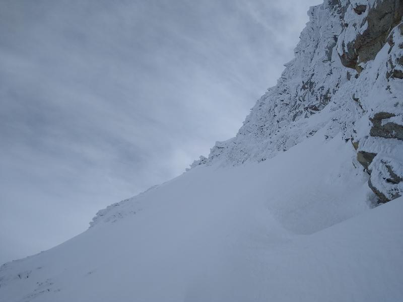
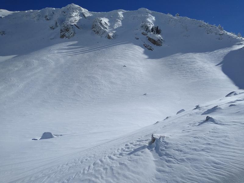
Ramp, wind affect on Red Baldy, blowing snow in the bottom of the bowl.
Video
Low hazard day with good visibility. Great day for mountain travel.
No evidence of recent avalanches other than 1-3 inch wind pockets. It's possible this layer could fail under the 4-8 inches of snow forecasted for the next 12 hours, especially if the wind indeed ramps up. Otherwise, expecting the dense warm snow to bond well to the surfaces we observed.
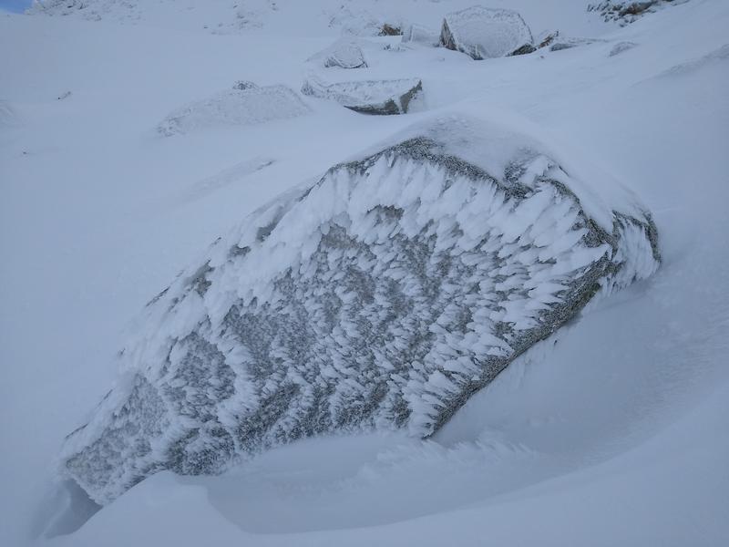
And a cool rime shot.
Today's Observed Danger Rating
Low
Tomorrows Estimated Danger Rating
Moderate
Coordinates