icon-add
Observation
Menu
×
Menu
Forecasts
Logan
Ogden
Salt Lake
Provo
Uintas
Skyline
Moab
Abajos
Weather
Archives
How to read the forecast
Observations & Avalanches
Submit Observation
Observations Explorer
All Observations
Avalanches
Fatalities
Weather
Place Names Map
Archives
Education
Avalanche Class List
UAC Class List
Online Classes
Resources and Tutorials
Avalanche Awareness
Develop Skills
Events
Store
About
Contact
Who we are
Core Values
Staff
Board of Directors
Past Forecasters
Sponsors
Annual Reports
Sign In
Blog
Donate / Join
Search
Forecasts
Logan
Ogden
Salt Lake
Provo
Uintas
Skyline
Moab
Abajos
Weather
Archives
How to read the forecast
Observations & Avalanches
Submit Observation
Observations Explorer
All Observations
Avalanches
Fatalities
Weather
Place Names Map
Archives
Education
Avalanche Class List
UAC Class List
Online Classes
Resources and Tutorials
Avalanche Awareness
Develop Skills
Events
Store
About
Contact
Who we are
Core Values
Staff
Board of Directors
Past Forecasters
Sponsors
Annual Reports
Sign In
Blog
Menu
Search
icon-add
Observation
Donate / Join
Submit Observation
Observations Explorer
All Observations
Avalanches
Fatalities
Weather
Place Names Map
Archives
Submit Observation
Observations Explorer
All Observations
Avalanches
Fatalities
Weather
Place Names Map
Archives
Observation: Cutler Ridge
Observation Date
1/24/2020
Observer Name
Joe
Region
Ogden » Ben Lomond » Cutler Ridge
Location Name or Route
Cutler area
Weather
Sky
Obscured
Precipitation
Moderate Snowfall
Wind Direction
Southwest
Wind Speed
Moderate
Weather Comments
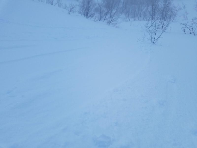
Low visibility above about 7000' all-day. wet snowfall started around 1030 and became much drier above 7500' and as the day went on. Snowfall continued until I left at 1530 accumulating to 3"-4". I found the winds to be most prevalent mid-slope on east-facing sub ridges, mostly coming from the S-SW but sometimes gusting out of the NW. The ridgelines at about 8600' had a steady moderate to strong west wind but were relatively calm just below them.
Snow Characteristics
New Snow Depth
3"
New Snow Density
Medium
Snow Surface Conditions
Dense Loose
Melt-Freeze Crust
Damp
Snow Characteristics Comments
There was a pretty solid crust on most aspects below 6800' in the morning and continued on south aspects much higher. Nice dense powder was falling above 7500'. In the afternoon as I was exiting the snow was wet and slow below 7000'.
Red Flags
Red Flags
Wind Loading
Cracking
Red Flags Comments
The winds were transporting the new snow easily and my skin track was filling in completely every 30-40 minutes all day. I could start to feel and see a slab starting to form on the ridgelines and mid-slope, however, I did not see any reactivity of these fresh wind deposits. I also had some lose snow slides lower down in the afternoon on east aspects.
Avalanche Problem #1
Problem
Wind Drifted Snow
Trend
Increasing Danger
Avalanche Problem #2
Problem
Wet Snow
Video
Today's Observed Danger Rating
Moderate
Tomorrows Estimated Danger Rating
Moderate