

Observation Date
1/13/2020
Observer Name
mark white
Region
Salt Lake » Park City Ridgeline » Monitors
Location Name or Route
Monitors
Comments
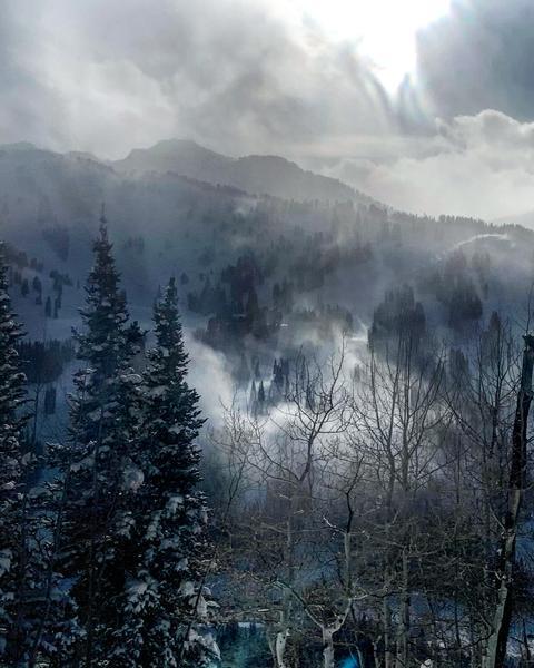
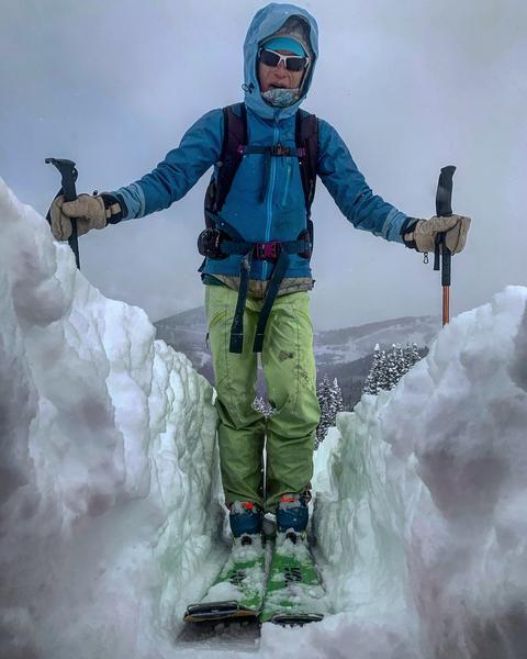
Took a walk up to the Monitors to see what happened during the storm. There was evidence of soft slab avalanches in both bowls due to natural cornice drops, but there didn't seem to be signs of any deep avalanches or step downs, it mostly looked like shallow soft slabs and sluffs. The wind was blowing fairly hard on the ridge line from the SW loading both bowls which face NE. I didn't note any other avalanche activity and got a good look at the West Willow Ridgeline, Meadow Chutes, and Days Fork. Dutch Draw looked like it got hammered wall to wall with no activity. The wind loading was the biggest concern today and with all the light density snow to move around, the wind was transporting way more snow than a windless 3 inch an hour storm could ever deposit. I was getting cracking in the wind affected snow on the S but no collapsing. I'm pretty sure the S facing survived the limited sun it got and still should be good in the AM. There was a slight density inversion in the new light density snow about 10 inches down but I would expect that to settle out quickly.
photos: wind transport later in the day, a video of S Monitor getting wind loaded and some really deep trail breaking.
Video
Between the wind loading and the massive amount of snow we received I would stick to considerable tomorrow, the snow needs time to settle and adjust.
Today's Observed Danger Rating
Considerable
Tomorrows Estimated Danger Rating
Considerable