

Observation Date
1/11/2020
Observer Name
Michael Janulaitis
Region
Uintas
Location Name or Route
Western Uintas
Comments
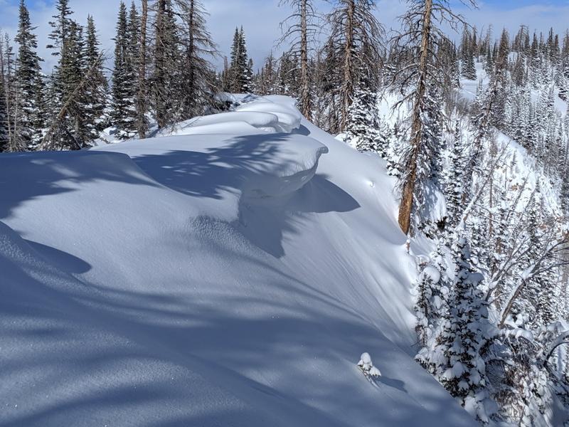
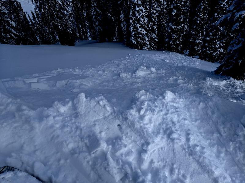
I got today and found 16" new snow above 9500 ft from this week's storms. The sun came out just briefly midday then quickly snowed 3 inches in in the early afternoon. Some small cornices have finally started forming on the north faces from southernly winds this week. When ski cutting on steep terrain I was able to easily initiate sluffs as expected. Sluffing was limited to terrain above about 40 degrees. In slightly lower angle terrain I saw a few minor cracks. I found some upside down slightly wind loaded snow low-north slope in open terrain which was a-typical of the terrain and normally would have been concerning however the terrain I was in slid on the basal facets during our mid-December cycle so the terrain was manageable.
Today's Observed Danger Rating
Moderate
Tomorrows Estimated Danger Rating
Moderate