March Kicks Off Our Spring Campaign- Donate Now to Support Forecasting

Observation: Uintas

Observation Date
1/1/2020
Observer Name
Ted Scroggin
Region
Uintas
Location Name or Route
Gold Hill
Weather
Sky
Obscured
Precipitation
Light Snowfall
Wind Direction
Southwest
Wind Speed
Moderate
Weather Comments
Not too cold at the trailhead this morning, light to moderate southwest winds and light snow fall until around 2pm when snowfall and winds picked up. Little new snow accumulation this afternoon.
Snow Characteristics
New Snow Depth
4"
New Snow Density
Medium
Snow Surface Conditions
Powder
Dense Loose
Wind Crust
Snow Characteristics Comments
Around 3-4" new snow today with lots of wind filling in some of the old tracks. Felt like a little higher density snow and lots of cracking within the new snow and sensitive wind drifts off the ridge lines.
Red Flags
Red Flags
Wind Loading
Cracking
Poor Snowpack Structure
Red Flags Comments
Gusty winds creating sensitive wind drifts, these would easily crack around sleds and skis. These were not too deep around mid-morning, but steady winds should make for bigger and more connected wind slabs.
Avalanche Problem #1
Problem
Wind Drifted Snow
Trend
Increasing Danger
Problem #1 Comments
Todays fresh wind drifts were becoming more sensitive and deeper as the winds were fairly steady and gusty all day. I was finding these on the lee ward side, mainly on north through northeast facing slopes. These were just off the ridge lines, but would imagine with continued strong winds these will become more connected and further down the slope.
Avalanche Problem #2
Problem
Persistent Weak Layer
Trend
Increasing Danger
Problem #2 Comments
Poking around Gold Hill, there are places where the snow pack is still quite thin with only two feet of snow and most of that is weak sugary snow. These places are lacking a slab on top and might become more active with some higher density snow and wind.
Comments
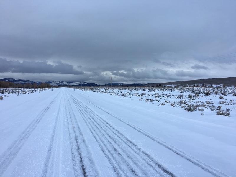
The storm was still moving in this morning and the snow and wind did not get going until late morning and heavier around 2pm.
The snow pack around Gold Hill is still a little on the thin side and mostly soft weak sugary snow. Once a slab is stacked on top of this, dangerous avalanche conditions would be more likely.
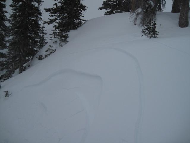
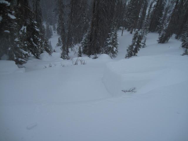
Winds were creating these shallow but sensitive wind slabs on the lee ward side of the ridge lines, mainly north and northeast facing slopes. I would imagine by tomorrow these will be a little deeper and more connected as the storm continues.
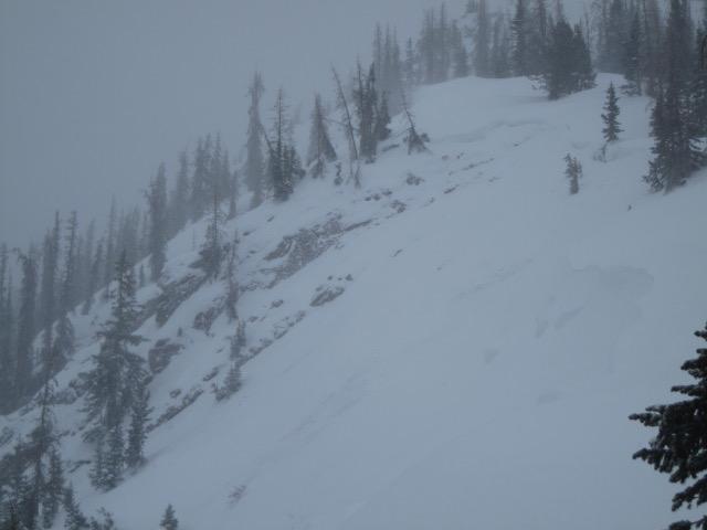
Found a couple old crowns along the Gold Hill ridge line. The bigger one I'm guessing was from a cornice fall that triggered a fairly connected slab that propagated around the corner and further up the ridge line. Just the right place where it is steep, thin and rocky and likely full of weak sugary snow.
Today's Observed Danger Rating
Considerable
Tomorrows Estimated Danger Rating
Considerable
Coordinates