Observation: Moab

Observation Date
1/1/2020
Observer Name
Garcia, Nauman, Benson
Region
Moab
Location Name or Route
Trans La Sal
Weather
Sky
Overcast
Precipitation
Light Snowfall
Wind Direction
West
Wind Speed
Light
Weather Comments
S1 snowfall on and off all day, maybe a Trace of accumulation.
Snow Characteristics
Snow Surface Conditions
Powder
Snow Characteristics Comments
Medium density powder on north aspects made for great skiing.
Red Flags
Red Flags
Poor Snowpack Structure
Red Flags Comments
We found poor snowpack structure in a pit at 10,150 ft. See below.
Avalanche Problem #1
Problem
Persistent Weak Layer
Trend
Same
Problem #1 Comments
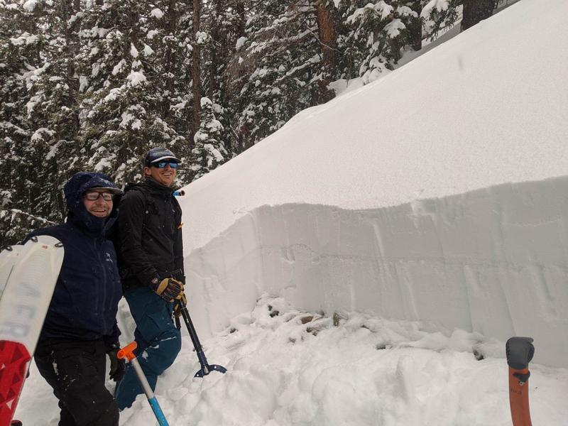
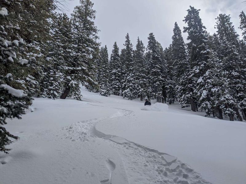
We dug on a NW aspect at 10,150'. The snow pack here was pretty shallow, HS 75 cm. Just looking at the pit wall there was an obvious weak interface 33cm below the surface. These are near surface facets that were buried by the 12/25 storm, and again by the 12/27 storm. The facets are 1.5 mm in size. This layer was reactive to stability testing today. We got CT19 SC and CT21 SC. We also got ECTN24. The snow above this weak layer was fist and four finger. Even though we got sudden collapse failures in our CT's, the three of us agreed the overlying slab was not cohesive enough to propagate a fracture on this buried weak layer. With that in mind, and no other red flags observed, we continued on our planned route. We enjoyed good skiing on NW facing slopes and skied slope angles in the mid to upper 30's. This layer should be of concern, especially if you find yourself in a wind loaded zone where you could have a more cohesive slab on top of this weak layer. I can't say if this structure exists at upper elevations, as we dug in the mid elevations today. Travis said this interface was not as obvious on a N facing slope he dug on last Thursday or maybe Friday.
Avalanche Problem #2
Problem
Wind Drifted Snow
Trend
Same
Problem #2 Comments
We topped out around 10,900 feet and encountered light westerly winds on this ridge line. We didn't see any blowing snow today. I imagine winds were a bit stronger in the upper elevations and its possible some fresh drifts we deposited today on N and E aspects. Yesterday we were in the high country and winds were absolutely still. Windslabs looked old and stiff.
If you look at the pit wall in the first photo you can see the dark line going across. This is the weak layer 33cm below the surface. Both photos Travis Nauman.
Today's Observed Danger Rating
Moderate
Tomorrows Estimated Danger Rating
Moderate
Coordinates