Observation: Uintas

Observation Date
12/29/2019
Observer Name
jg
Region
Uintas
Location Name or Route
Upper Weber Canyon
Weather
Sky
Overcast
Precipitation
Light Snowfall
Wind Direction
Northwest
Wind Speed
Light
Weather Comments
Overcast skies with occasional low cloud ceiling dropping down to obscure the highest ridges. Winds were mostly light to calm but the highest ridge lines were were experiencing moderate winds and gusts. Temps in the single digits up high and low teens at lower elevations. Light snow throughout the day with about a half to an inch of new, uber low density snow.
Snow Characteristics
New Snow Depth
1"
New Snow Density
Low
Snow Surface Conditions
Powder
Wind Crust
Red Flags
Red Flags
Cracking
Poor Snowpack Structure
Red Flags Comments
Isolated cracking of fresh wind drifts.
Avalanche Problem #1
Problem
Wind Drifted Snow
Trend
Same
Problem #1 Comments
Small, shallow soft slabs were encountered but not widespread and were very easily managed.
Avalanche Problem #2
Problem
Persistent Weak Layer
Trend
Same
Problem #2 Comments
Poor snowpack structure with the weak basal facets being the layer of most concern. Snowpit tests reflected a propensity for failure but with moderate to hard effort to fail.
Snow Profile
Aspect
Northeast
Elevation
9,700'
Slope Angle
32°
Comments
The persistent weakness deep in the pack is still the point of most concern but it takes some effort for this layer to fail in snowpit tests and it seems like the trend is moving toward more stability. That being said, we are set up, weather-wise for additional snow this week and I would expect this layer to re-awaken with the addition of more water weight on the pack.
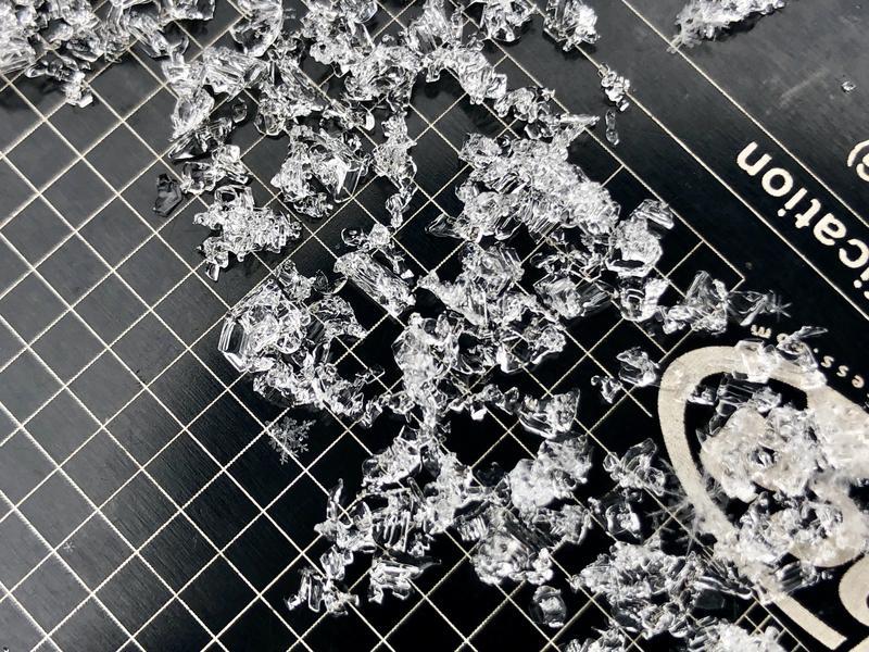
Photo below: The Junk in the Trunk
Today's Observed Danger Rating
Moderate
Tomorrows Estimated Danger Rating
Moderate