Observation Date
12/26/2019
Observer Name
Nauman, Kennard, Bolos
Region
Moab
Location Name or Route
Dark Side
Weather
Sky
Scattered
Wind Speed
Calm
Weather Comments
It was a rare calm day touring in the La Sals. In the sun it was beautiful, but in the shade it was quite cold. It was 12 deg F at our snow pit today. However, a quick look at Pre Laurel shows that the winds have kicked up again and that mean snow will be loading N-NW faces again.
Snow Characteristics
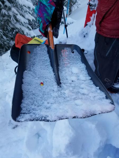
New Snow Depth
3"
New Snow Density
Low
Snow Surface Conditions
Powder
Wind Crust
Snow Characteristics Comments
A new 2-3 inches of light snow fell overnight above 10,500 feet. This snow was quite light and complimented the 12-16 inches that fell the night before last. Only the most wind exposed areas had a wind crust, but plenty of wind loading has occurred over the last 48 hrs forming large wind drifts on downwind slopes.
Red Flags
Red Flags
Recent Avalanches
Wind Loading
Poor Snowpack Structure
Red Flags Comments
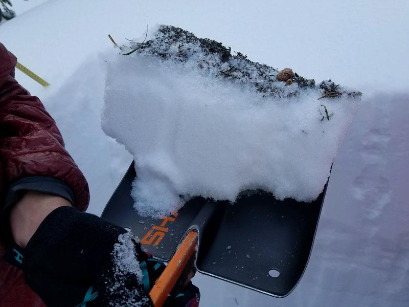
Today we observed a number of large point sluffs that came off the high ridglines in Middle Cirque, Tuk, and Red Snow Cirque. Although these slides didn't propagate across slopes, several ran for a thousand vertical feet. There were many large wind drifts along the high alpine ridgelines. The snow pit we dug had an ECTP 8 irregular planar failure 18" below the snow surface on a graupel layer that fell Christmas night at the beginning of that storm. This was on top of a dense (P-) layer that formed during our last dry cycle (See snowpit for details). This pit was representative of many of the upper stretches of north facing slopes and had some extra wind loading (probably an extra 4"), and indicates potential for avalanches on this weak layer.
Avalanche Problem #1
Problem
Wind Drifted Snow
Trend
Increasing Danger
Problem #1 Comments
The new storm provided a large source of loose snow for transport, and numerous wind drifts on northerly aspects have formed. We did observe one small wind slab avalanche (~30ft diameter) that was triggered by a point slough in Red Snow Cirque. With the winds howling again on Pre Laurel, wind slab avalanche may increase for tomorrow which makes me think the overall Avy tomorrow danger will be Considerable.
Avalanche Problem #2
Problem
Persistent Weak Layer
Trend
Same
Problem #2 Comments
I'm going to lump the graupel layer that failed today into a Persistant Weak Layer on this as it can take a little time for graupel to bond, but it is related to the new snow. There is also a small layer of facets (5-10 cm) at the ground, but most of the lower snowpack we looked at was quite strong and cohesive. We tried to get the lower part of the snowpack to fail on our ECT test after the initial result and could not get any failure on the lower snow layers. I think we need to keep testing this graupel layer for a couple days before jumping onto any steep slopes - we found this same layer yesterday at the storm interface in the North Woods.
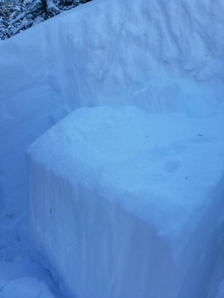
Snow Profile
Aspect
Northwest
Elevation
11,000'
Slope Angle
25°
Comments
We continue to have an abnormally high amount of graupel falling in our storms this year. This came from the failure plane on our ECT
Although our ECT did clearly fracture across the whole profile and came out maybe 1/16", the fracture surface had some irregularities. This indicates that a failure on this weak layer is less likely to propagate as widely as a more planar surface which typically cause our larger avalanches.
Although we did see facets on the ground (0-7cm), they were pretty limited and were bonded together albeit less so than the snow above.
Today's Observed Danger Rating
Considerable
Tomorrows Estimated Danger Rating
Considerable
Coordinates