


Observation Date
12/19/2019
Observer Name
Zimmerman-Wall/Bremer/Latosuo AIARE PRO 1
Region
Salt Lake » Little Cottonwood Canyon » White Pine
Location Name or Route
White Pine Fork
Comments
Stable weather from AM to PM. Lt westerly winds not transporting snow along ridge tops, but the Birthday Chutes had surface texture indicating recent wind affect. Temps were cold at shady trailhead, but warming took place by mid afternoon. The south facing terrain was definitely in full sun. However, no recent wet activity was noted along the LCC canyon wall above the highway. It appears that many travelers have visited the larger south facing paths of Little Pine and Tanners over the last period of clear weather. No noted avalanches in these paths, but also no community observations to support the weight of evidence of inactivity. Of the hundreds of tracks on the south facing terrain of LCC, have only seen a handful of observations come in.
Photos:
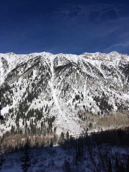
South facing Little Pine path over Highway 210
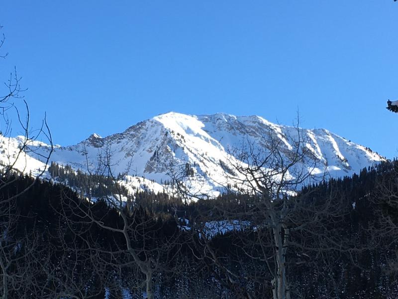
Upper White Pine (Red Baldy)
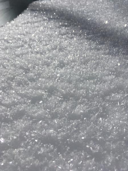
Surface hoar in sheltered areas ( >3mm)
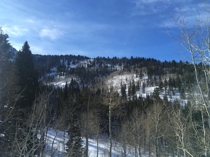
Lower Pink Pine Ridge where profiles were performed.
Today's Observed Danger Rating
Moderate
Tomorrows Estimated Danger Rating
Moderate
Coordinates