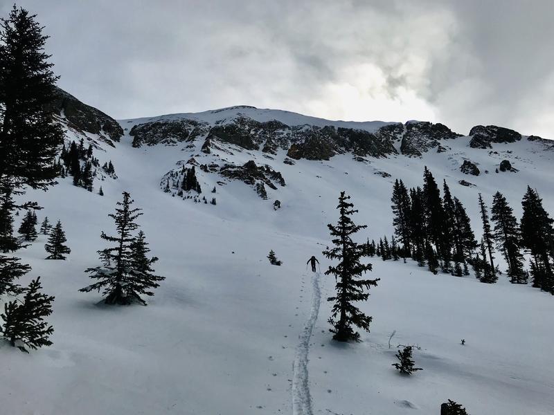
Our main objective today was to ski El Pinche. After discussing it last night we agreed that it would be easy to bail on if things didn't line up according to the forecasted advisory and the weather. We started our approach up the Laurel Highway and made it to the weather station. From there we discussed staying high on the ridge and approaching El Pinche from the top down. The early season conditions and moderate SW winds transporting snow into N and NE aspects had us thinking about some cross loading that had a few steep gullies that we would have to cross looking pretty fat, so we opted to ski Gold Miners and approach El Pinche from the bottom up. As expected Gold Miners was sun crusted and punchy. We took it easy down the slope and stayed upright. Once we were in upper Gold Basin we approached the apron of El Pinche spaced out. I quickly took a look into the snow and determined that it all looked good with the exception of some small grained facets near the ground. These facets have been non reactive in tests and we had not experienced any cracking or collasping in the snowpack today, and with the last avalanches ocurring over a week ago. I'll be keeping my eye on these facets to see how they change over time, but today were not alarming me.
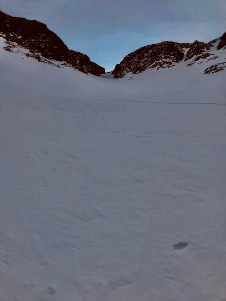
We put a skin track mostly straight up the main gut of the apron to avoid being too close to the rock islands on both sides of the run. Thinking that there could be more well developed facets near the rocks in a thinner snowpack. The higher we got the more the winds were moving snow around on the surface. There was a slight wind skin forming on the surface. We reached our objective. Discussed going higher up in to the couloir. With the fog increasing and the winds loading more of the slope above us we opted out.
I did note a good amount of surface hoar growing in the 10k to 11k elevation band in sheltered terrain out of the wind and direct sun. Up higher in the wind and aspects that face S, SW, and W I wouldn't find it. Something to consider if it gets buried while standing upright with tonights storm.
1st pic: Bottom of Gold Miners headed towards our objective.
2nd pic: Headed up the gut.
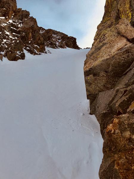
3rd pic: Peaking up El Pinche.